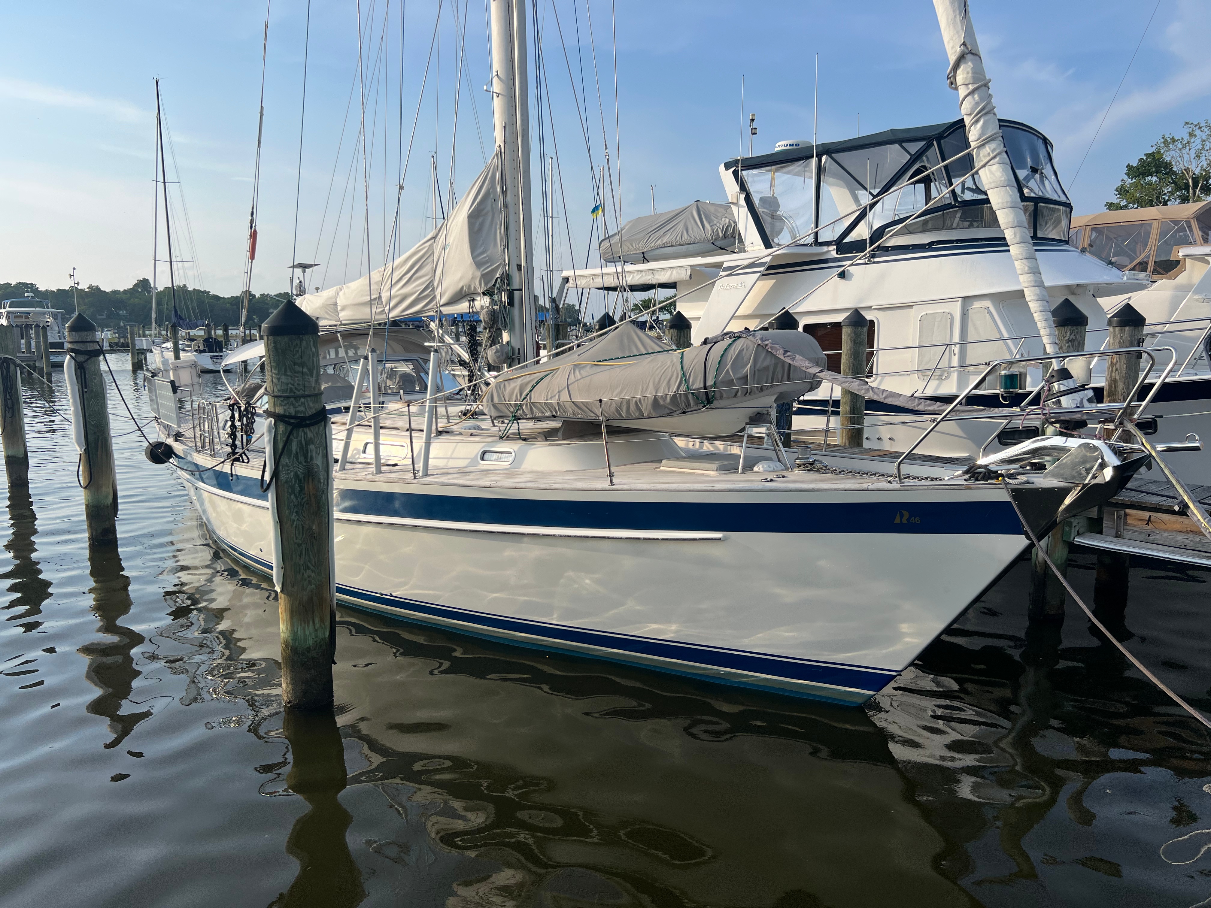
We have worked hard on this boat, getting into all of the systems and breaking then down and rebuilding or replacing them. We’ve replaced the rigging and even the deck. Finally, we take a short trip to test everything out including ourselves. We shook out everything, and remarkably just about everything worked as planned. We saw a lot of what the Chesapeake and Delmarva has to offer, and it was beautiful. If you don’t know what the Delmarva is, here is a link to Wikipedia.
Trip Statistics

- Route: Clockwise
- Base Point: Maryland Yacht Club in Rock Creek
- Begin: Monday, July 21, 2025 at 1500
- End: Saturday, July 26, 2025 at 0300
- Total Trip Duration: 4.5 days
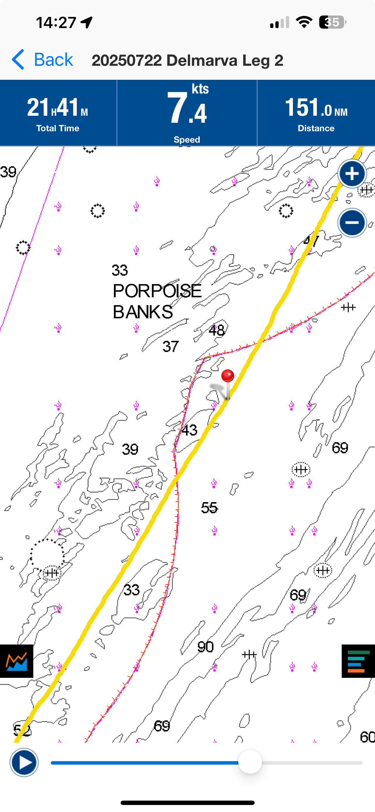
- Total Distance: 436.5 nm
- Total Time Moving: 72 hours
- Engine Time: 48.6 hours (67% of the Total Time!)
- Generator Time: 19.7 hours (while stopped for using our A/C)
- Highest Wind Gust: 19 knots
- Largest Sea State: 4 feet
- Anchorages: 3 (Rogues Harbor, Horshoe Bend in St. Mary’s, Solomon’s Island)
- Docks: 1 (Waterside Marina in Norfolk)
- Max SOG: 10 knots
Leg 1: Maryland Yacht Club to Rogues Harbor
We shoved off the dock at Maryland Yacht Club on Monday afternoon at 1500. The plant was to anchor before dark in either Bohemia or Betterton. We wanted to stop, anchor down, eat a late dinner, take a nap and wake up around 2300 or 2330 to catch an optimal current shift for going through the C&D Canal.
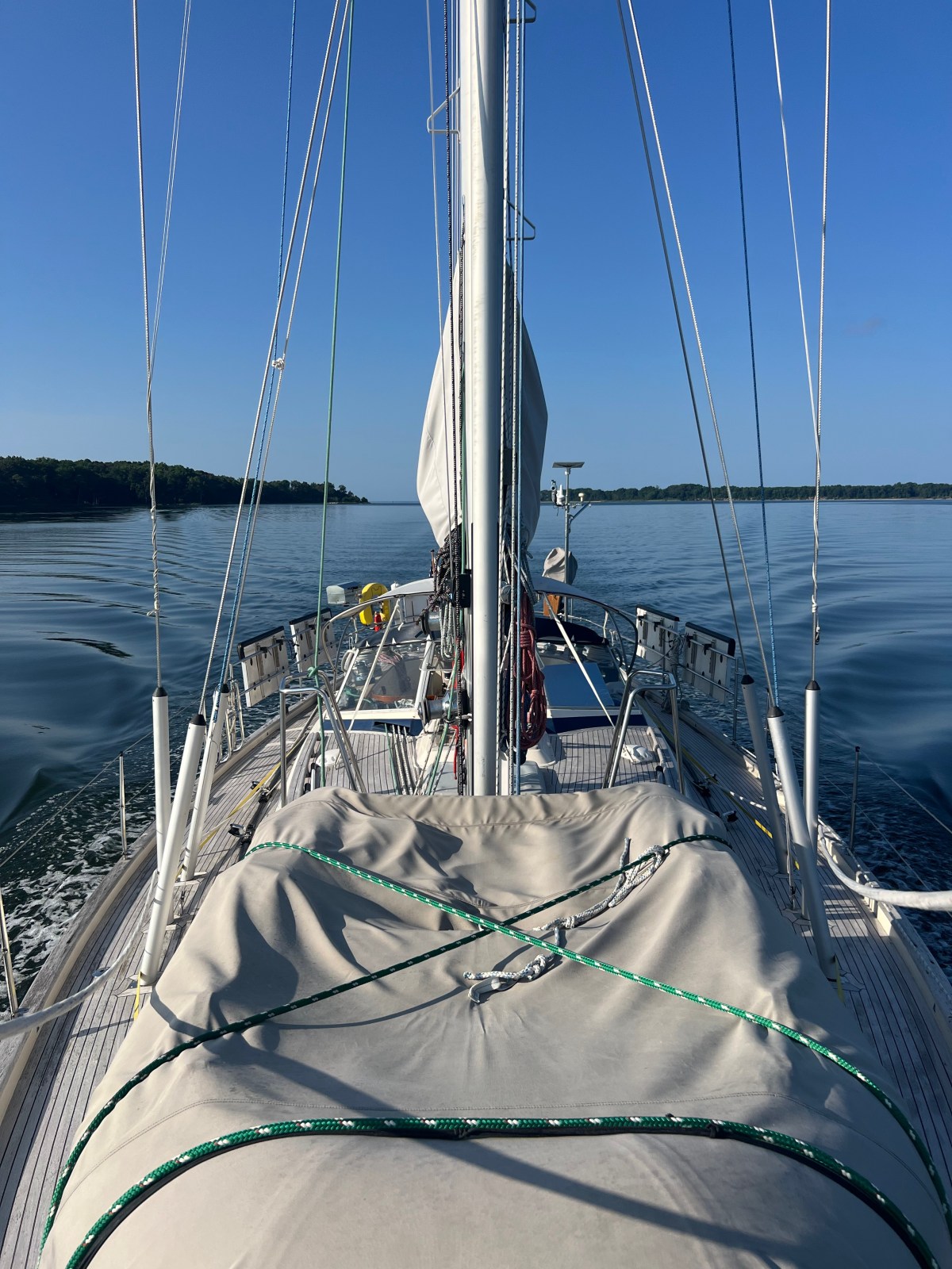
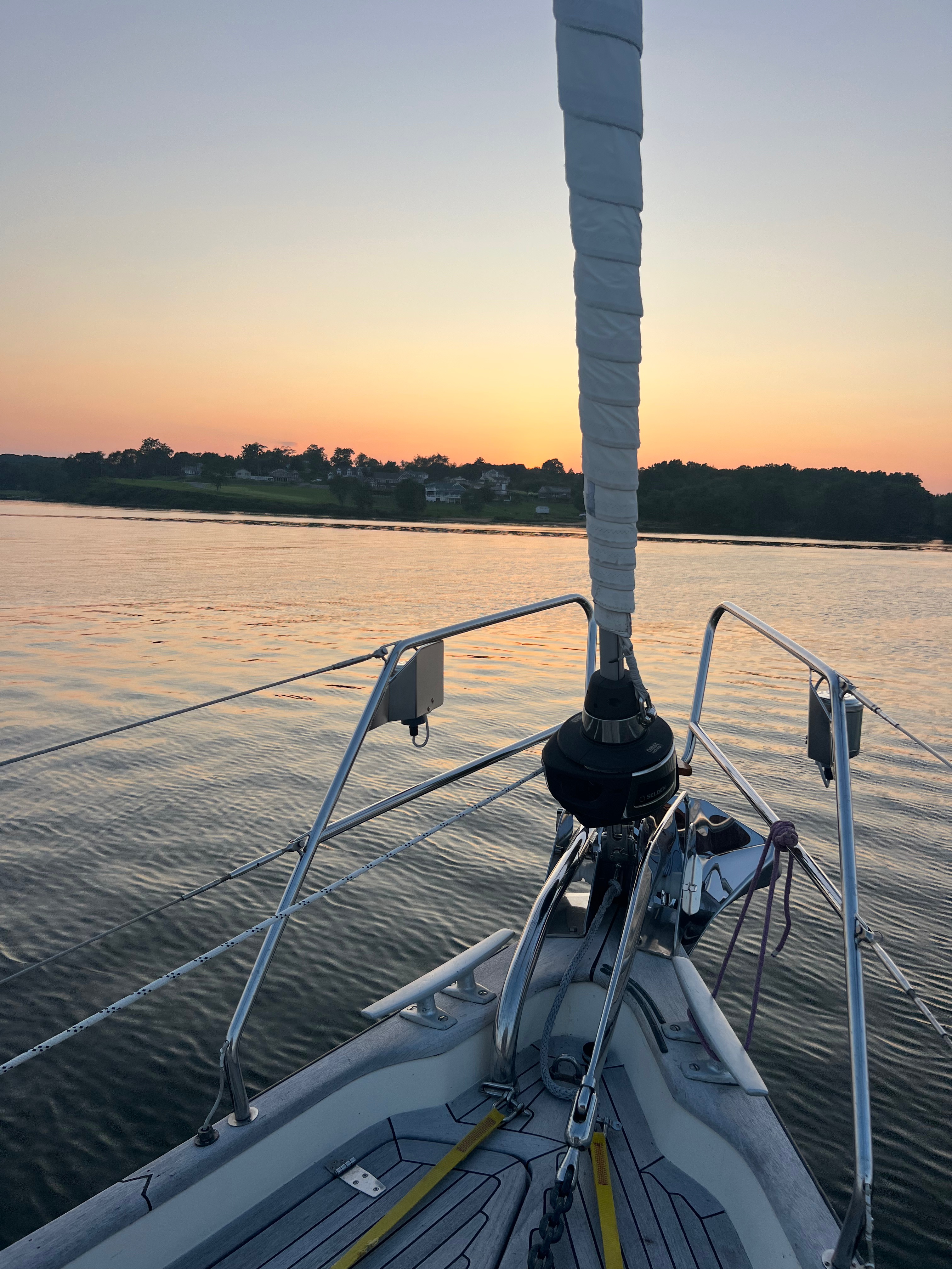
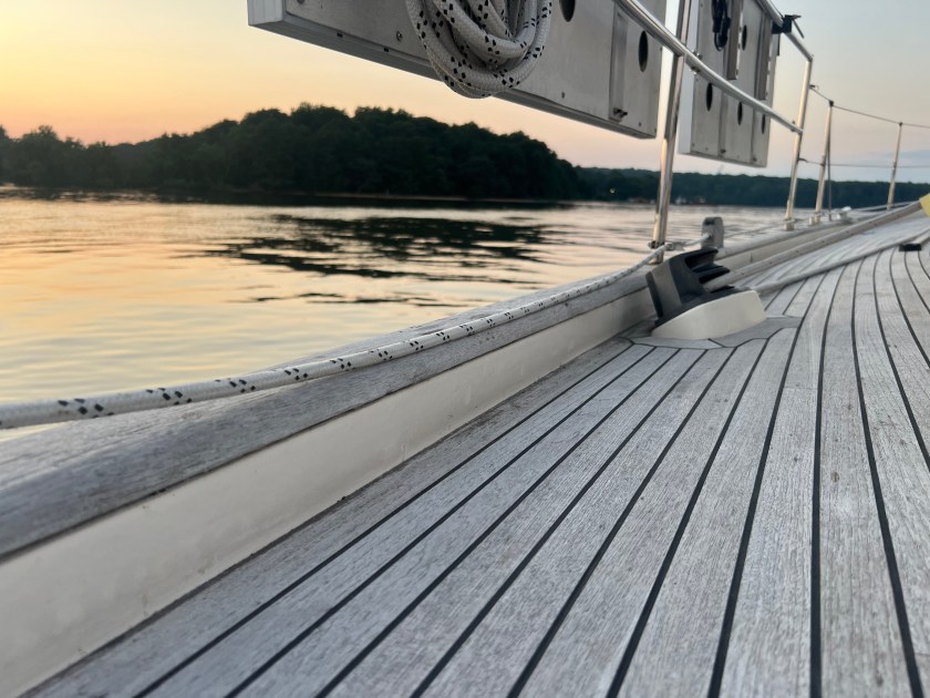
Motor sailing North was fine with wind just off our nose. Departing the dock, I was admiring the bow of the boat which had a facelift from the removal of the Solent rig. It was a big change that both de-complexed the rig and de-cluttered the bow. If you know Skyward, the bow is already cluttered with the stowage of the dinghy. Nevertheless, we had the main up and trimed it all the way in.
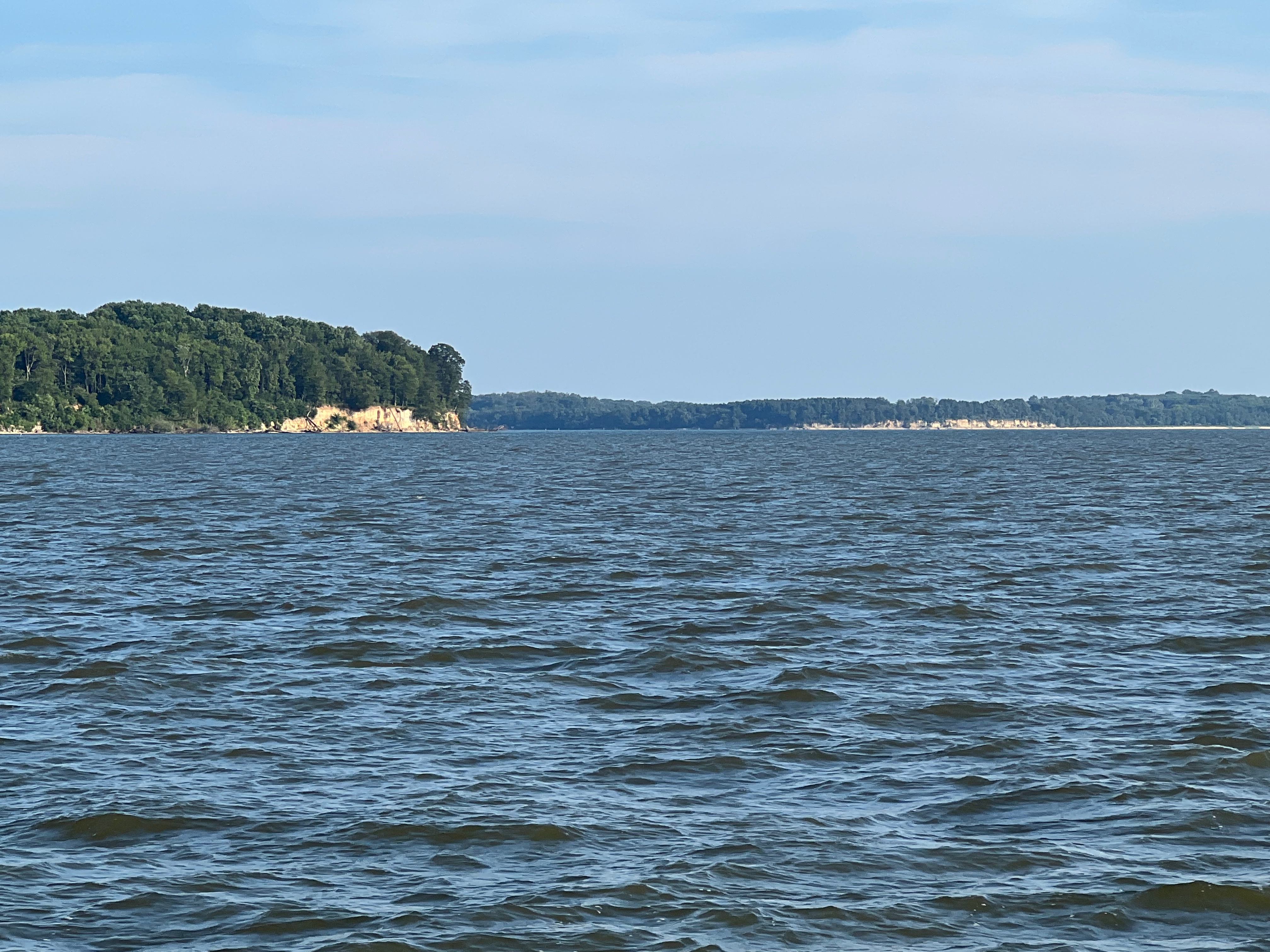
We passed our favorite place, Whorton Creek. I never realized before how the North end of Whorton Creek had some small but noticable elevation. As we pushed passed this location, I made a commitment to get back here before the end of the season. It is one of the best places to visit with walkable beach areas, lack of nettles, paddleboard exploring opportunities and sand spits that are visible in low tide.
We stayed very close to the Eastern shore as we approached the Sassafras River . It felt almost uncomfortably close to shore. I thought I could tell the height of the green lawns just up fro the shore. But I was informed by the Admiral that we had plenty of deep water.
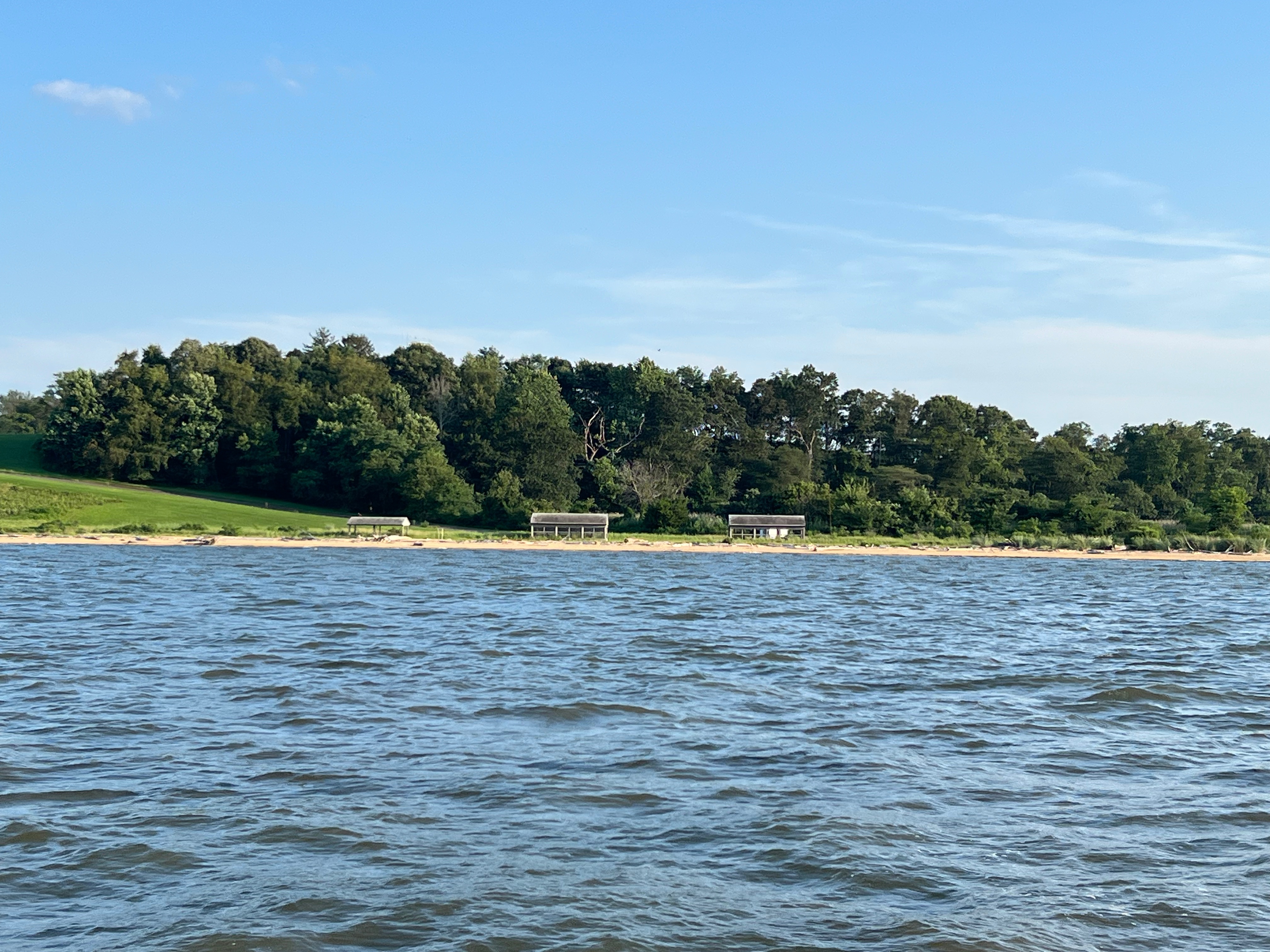
I couldn’t help but notice these really interesting structures on the shoreline near Howell Point. Does anyone know what they are? As we rounded Howell Point and approached the Betterton area, we motored towareds dozens and dozens of crab pots. The crabpots were everywhere. With prevailing Northerly winds, we had hoped to maneuver and anchor near the Northern shore of the Sassafras. That whole idea fell apart after seeing the crab pots; thinking ahead, the last thing we wanted to do was pick up anchor and navigate through a crab pot field in pitch darkness trying to head up to the C&D Canal at midnight.
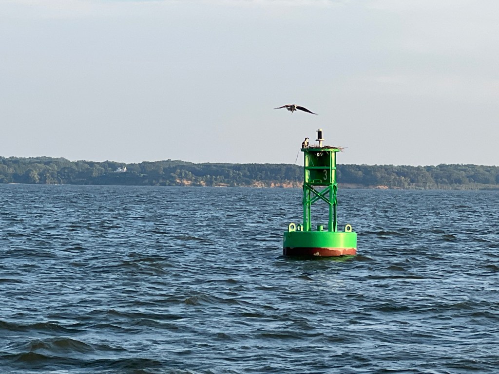
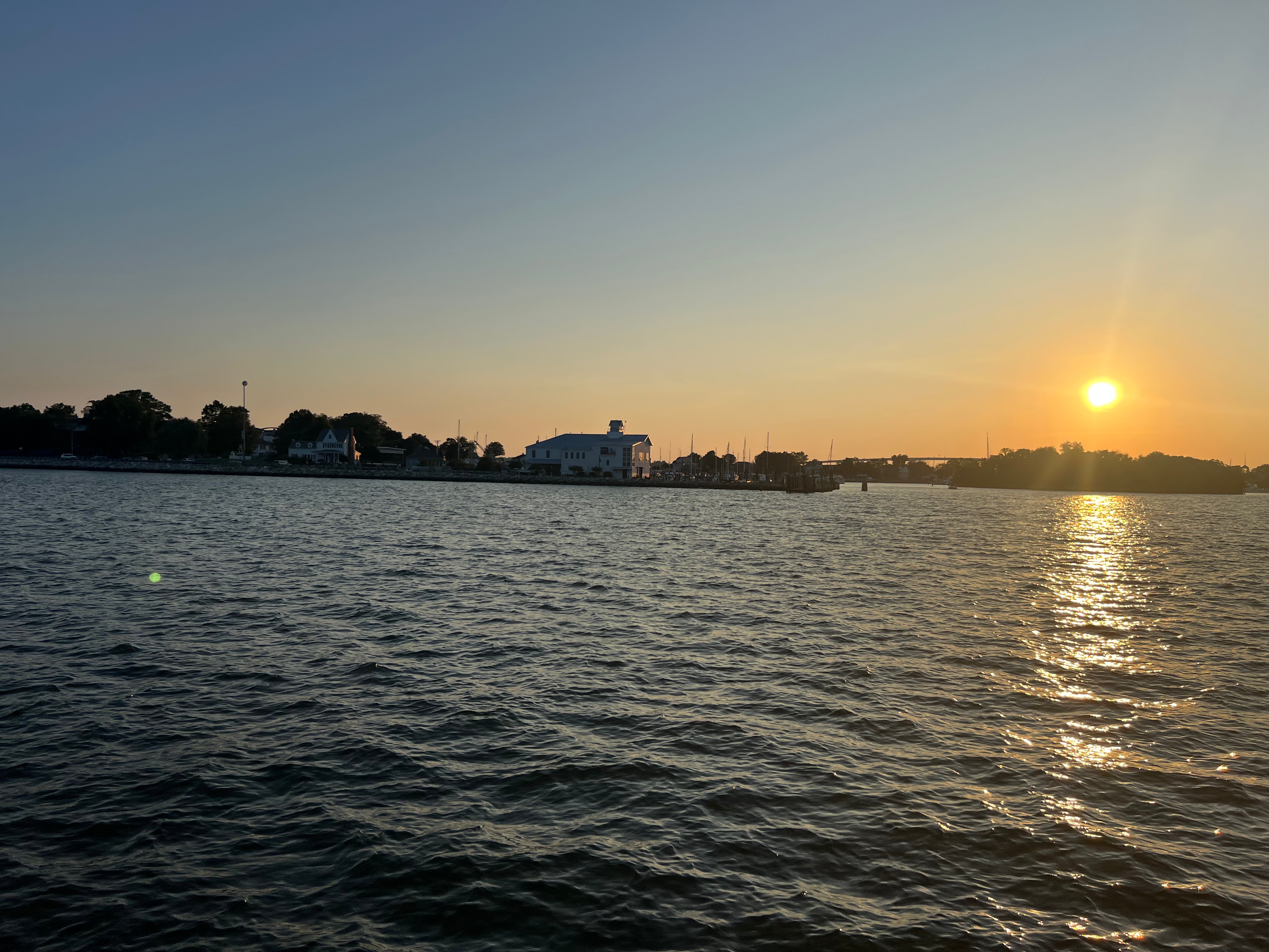
We motored out of Betterton and bashed a little towards Bohemia. Along the way, we passed green buoy “3” and watched an Osprey take off and land. We watched the sun go down and the admired the effects of that sunset on the Eastern shore; the houses lit up beautifully.
Then we looked more closely at our maps and picked out Rogues Harbor on the West side which would give protection from the Westerly component of the wind. As we motored closer to the spot we had our eyes on, the water was glass calm.
We dropped anchor on the South side of Rogues Harbour in more than 10 feet of water closer towards Greenbush Pt. It was peaceful and offered a quick jump back into the channel with no obstacles. Exactly what we were looking for. We set alarms for 2300 so that we could catch the favorable shift in tidal flow and get a big push through the Canal.
Leg 2: Rogues Harbor to Waterside Marina (Norfolk)
The alarm went off and we popped up, started the engine, clicked on the steaming light and side lights and pulled up anchor. We were off by 2345 and were navigating the channel using the Elk River Channel Range Lights.
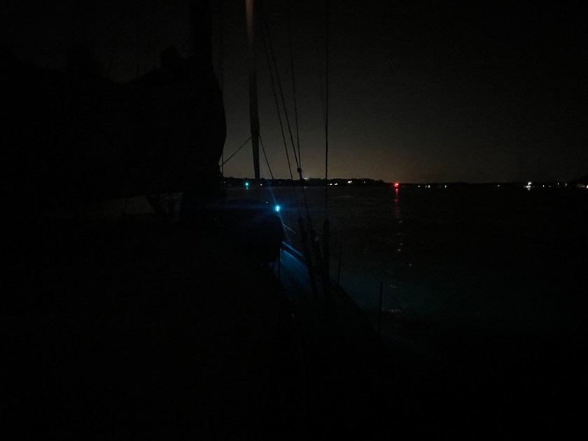
Things were very quiet, no wind and something felt a little off. We started noticing that our speed wasn’t what we expected, and it turned out that we read the current charts incorrectly and we were about 1 hour too early into the canal. We had made too much progress to stop by this point so we pushed forward. That turned out to be a wise decision.

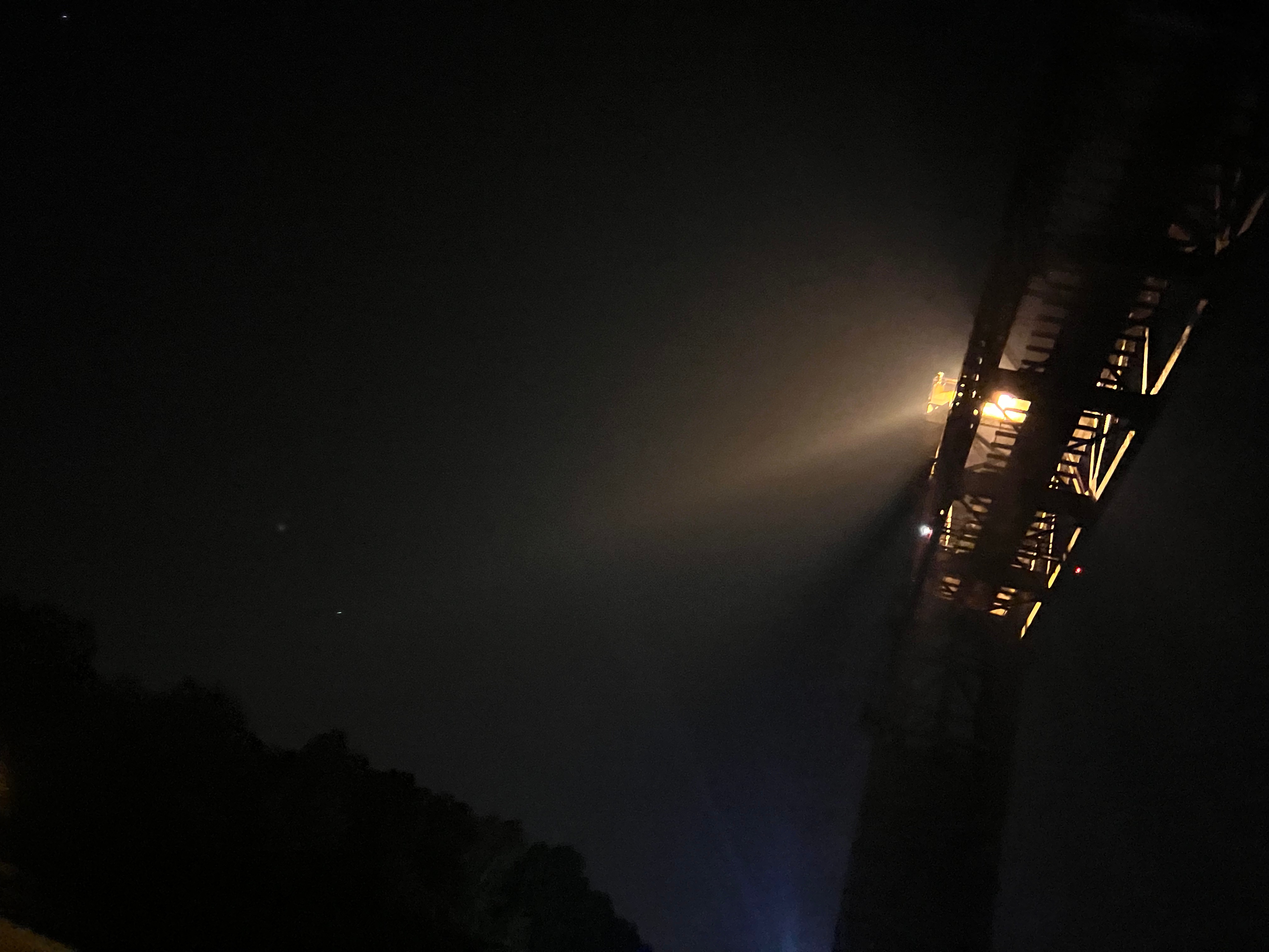
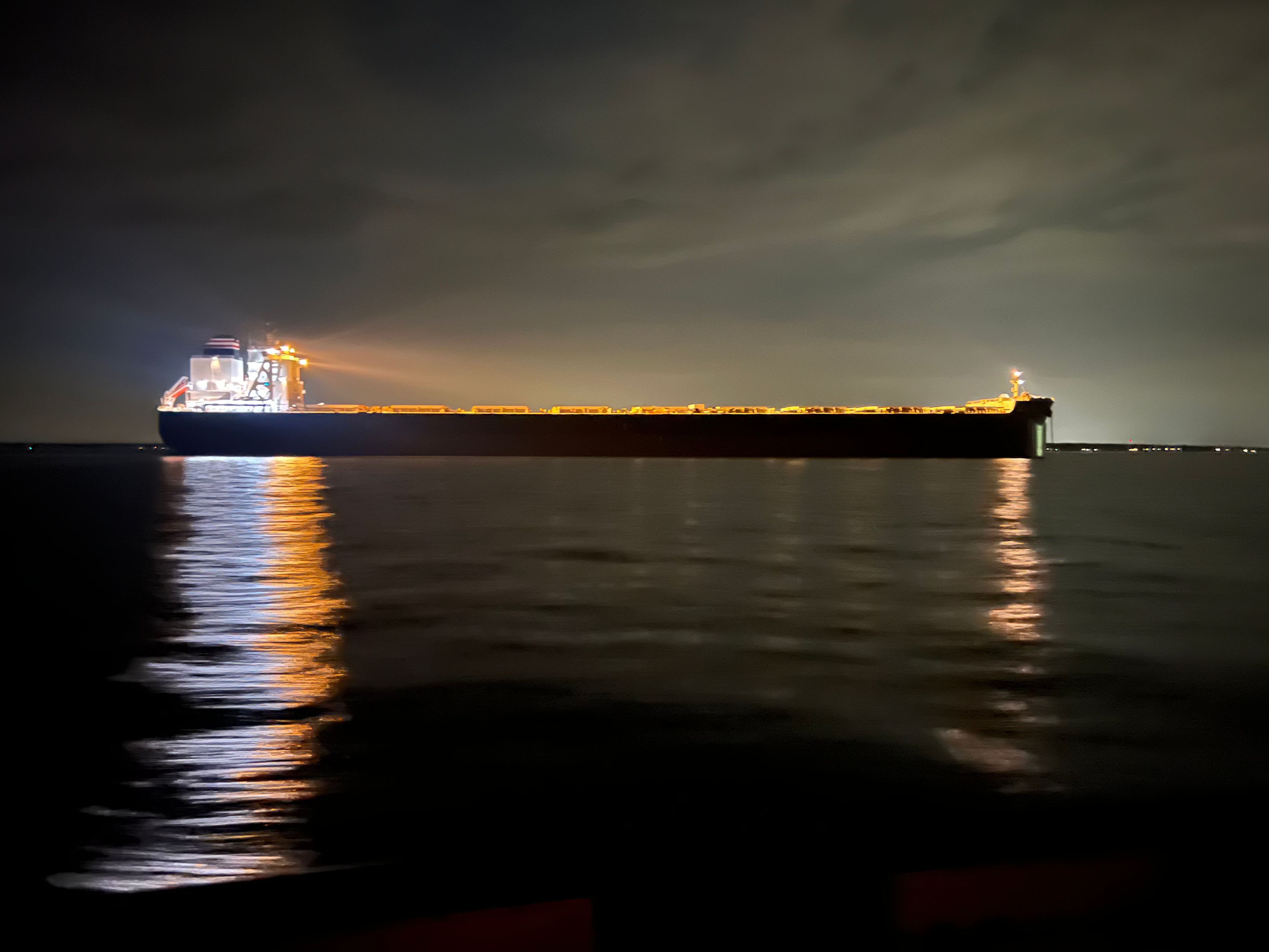
The lights on the canal lit up like an airport runway. We got to see the canal at night which was a bucket list item for me. Most pictures didn’t turn out that great because we had a pretty decent speed-over-ground (SOG). Almost all pictures turned out blurry.

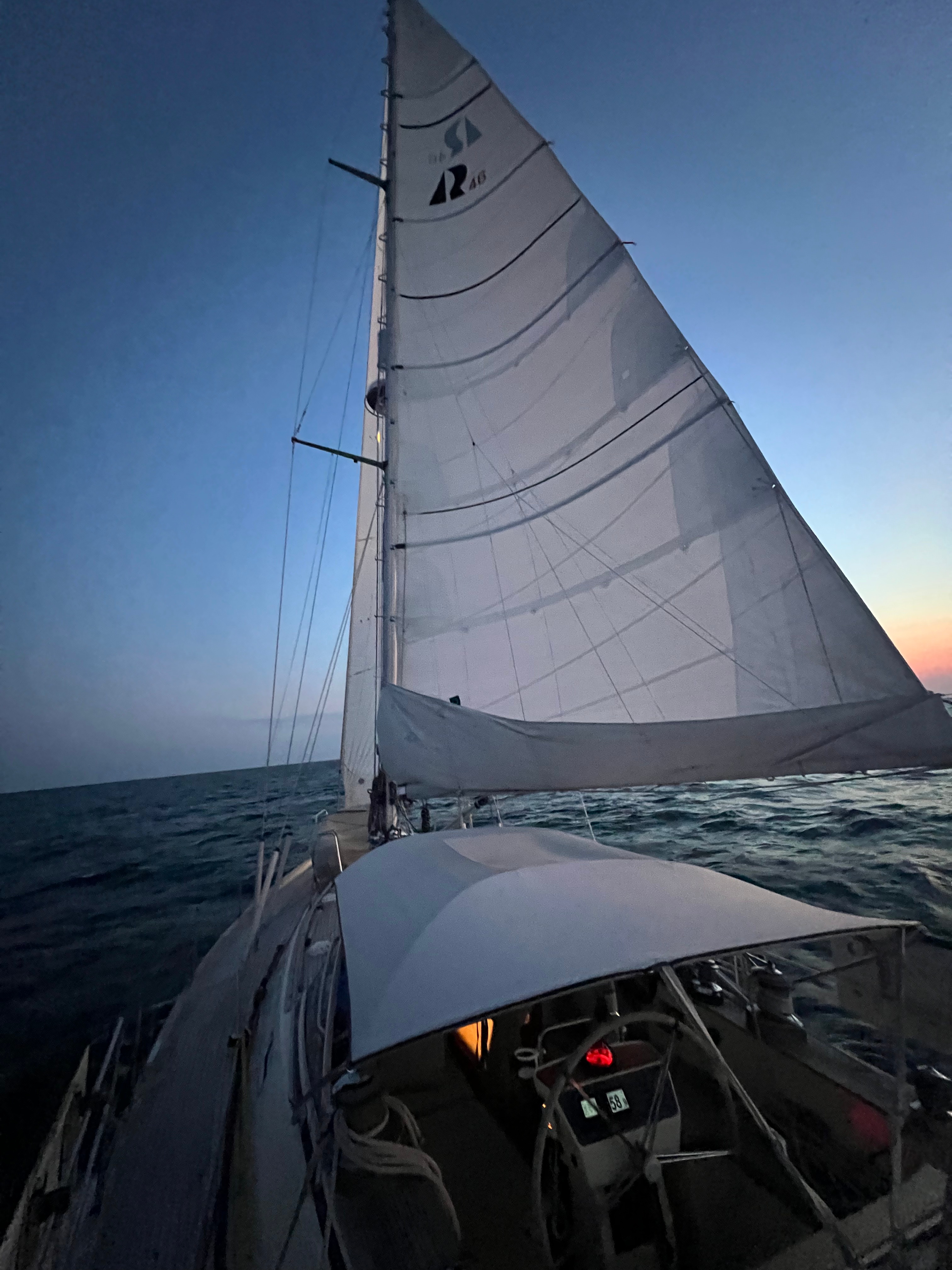
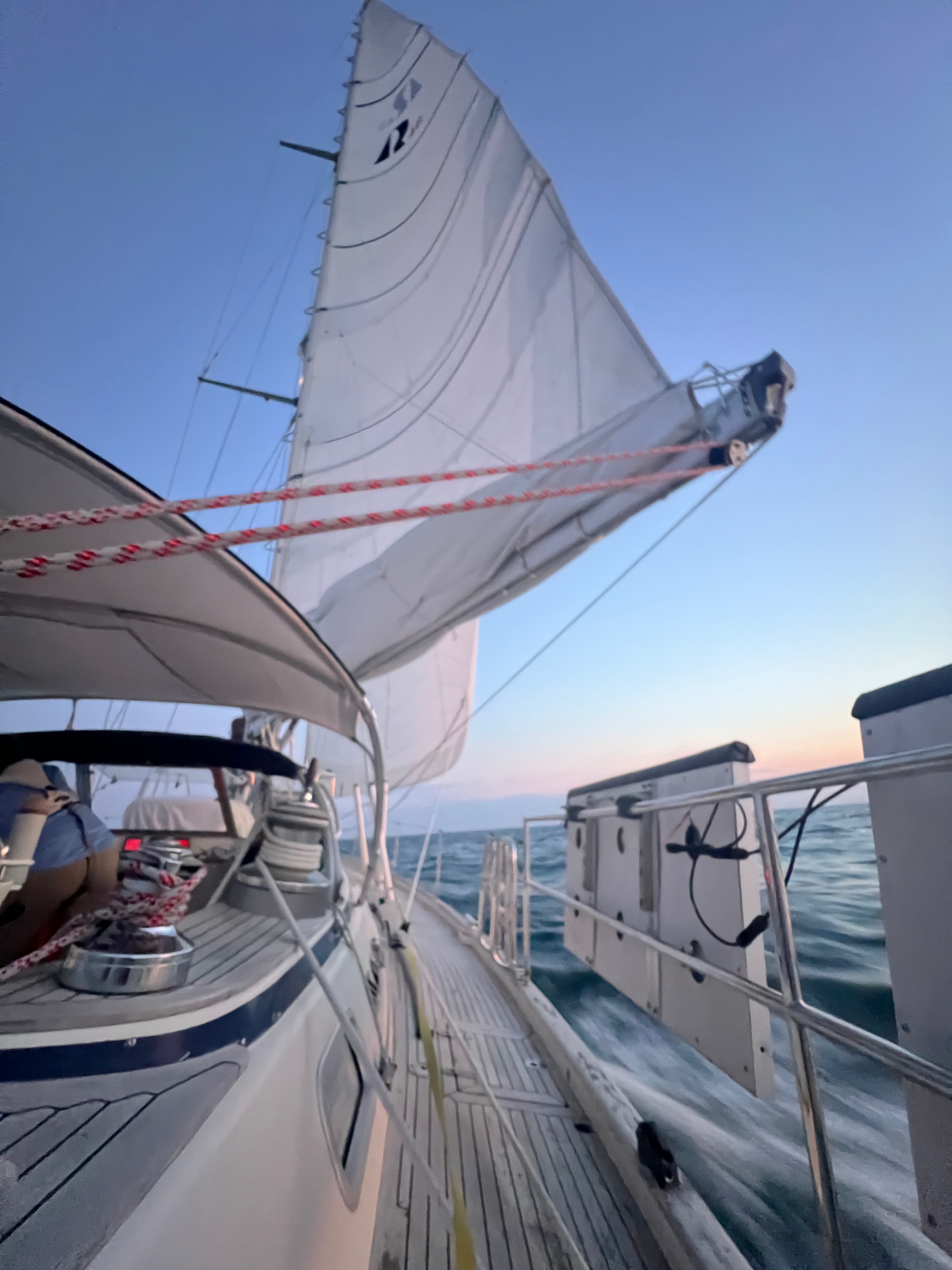
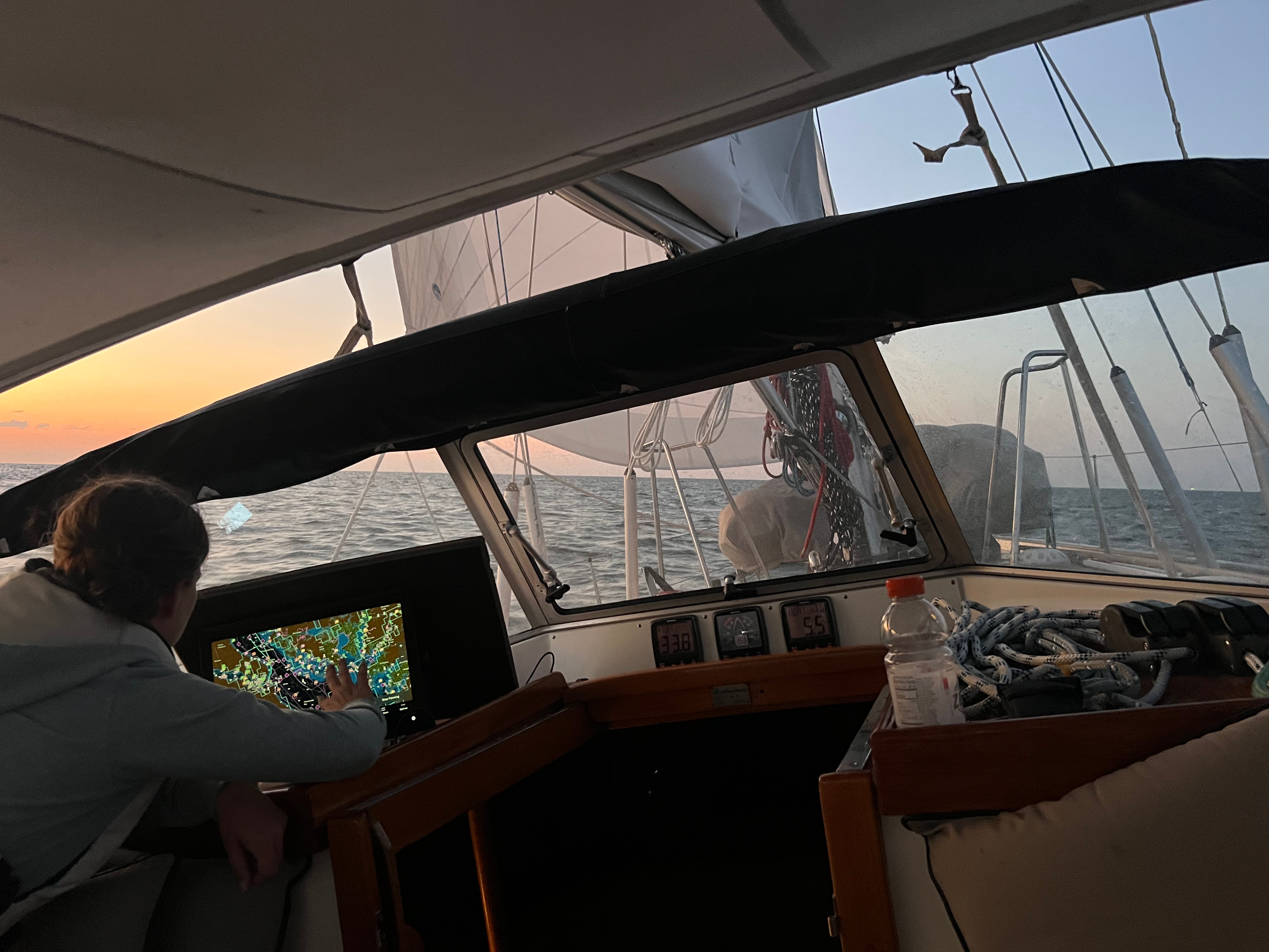
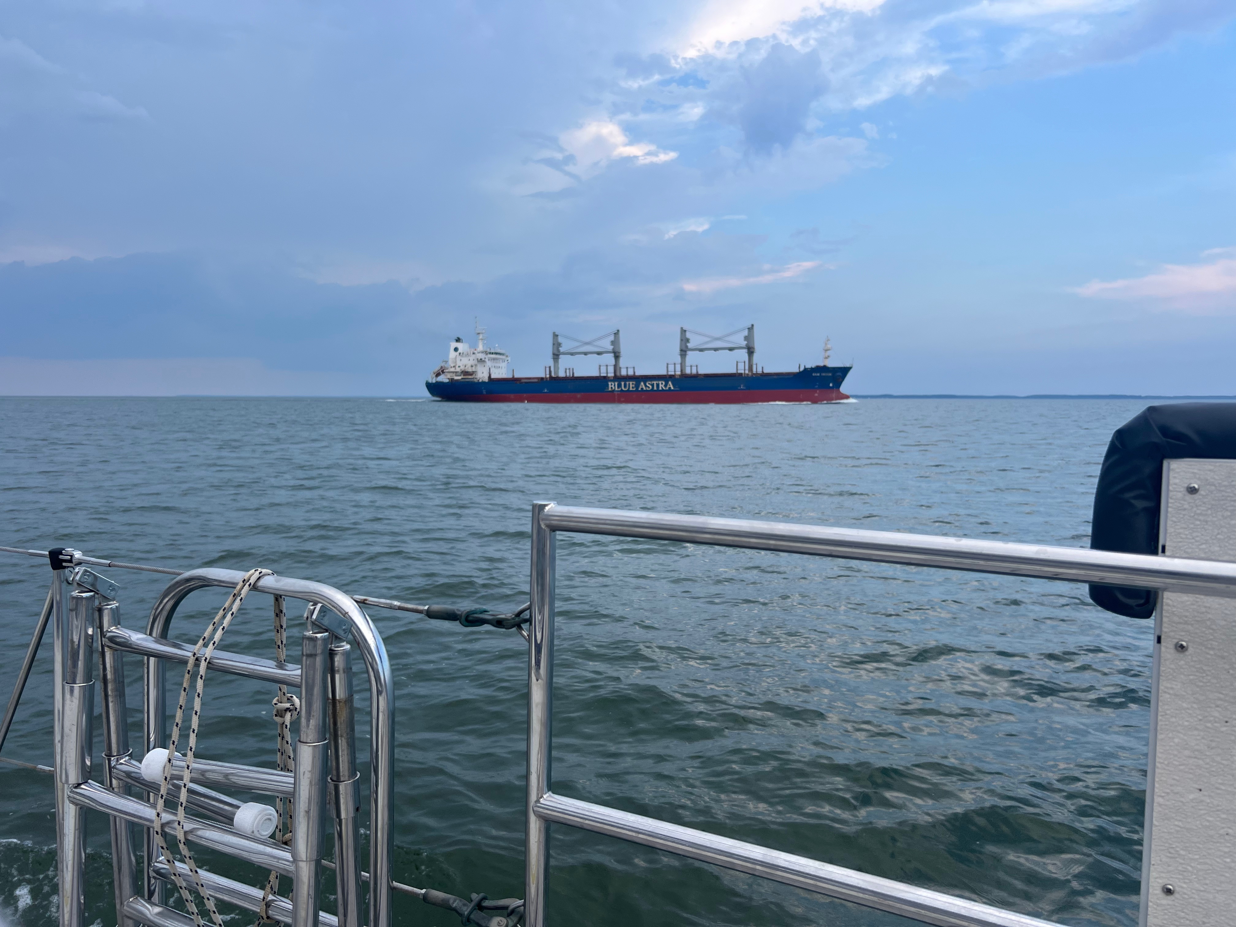
We ducked out into the Delaware River pushing 9 knots SOG. But as soon we we turned the corner we decided to put up the main to take advantage of a nice beam reach. We slowed the boat down and attempted to hoist near the Salem Nuclear Power Plant. We had some wave action hitting us from the side and wind with shallows around us. I noticed that the mainsail wasn’t going up easily by hand. I had a hand held flash light that is pretty powerful, and I aimed it up the mast, but I could only see clearly up to about 40-45 feet. So we plugged in our 24V high intensity flood/search light at the helm. That lit up everything. We could see that the main halyard was wrapped around a mast step. Frustrating, but we could not move forward safely. Once the mainsail was up, we held our point of sail for 4-5 hours reaching back up to about 9 knots. The Dole ship approached us quickly on our starboard side.

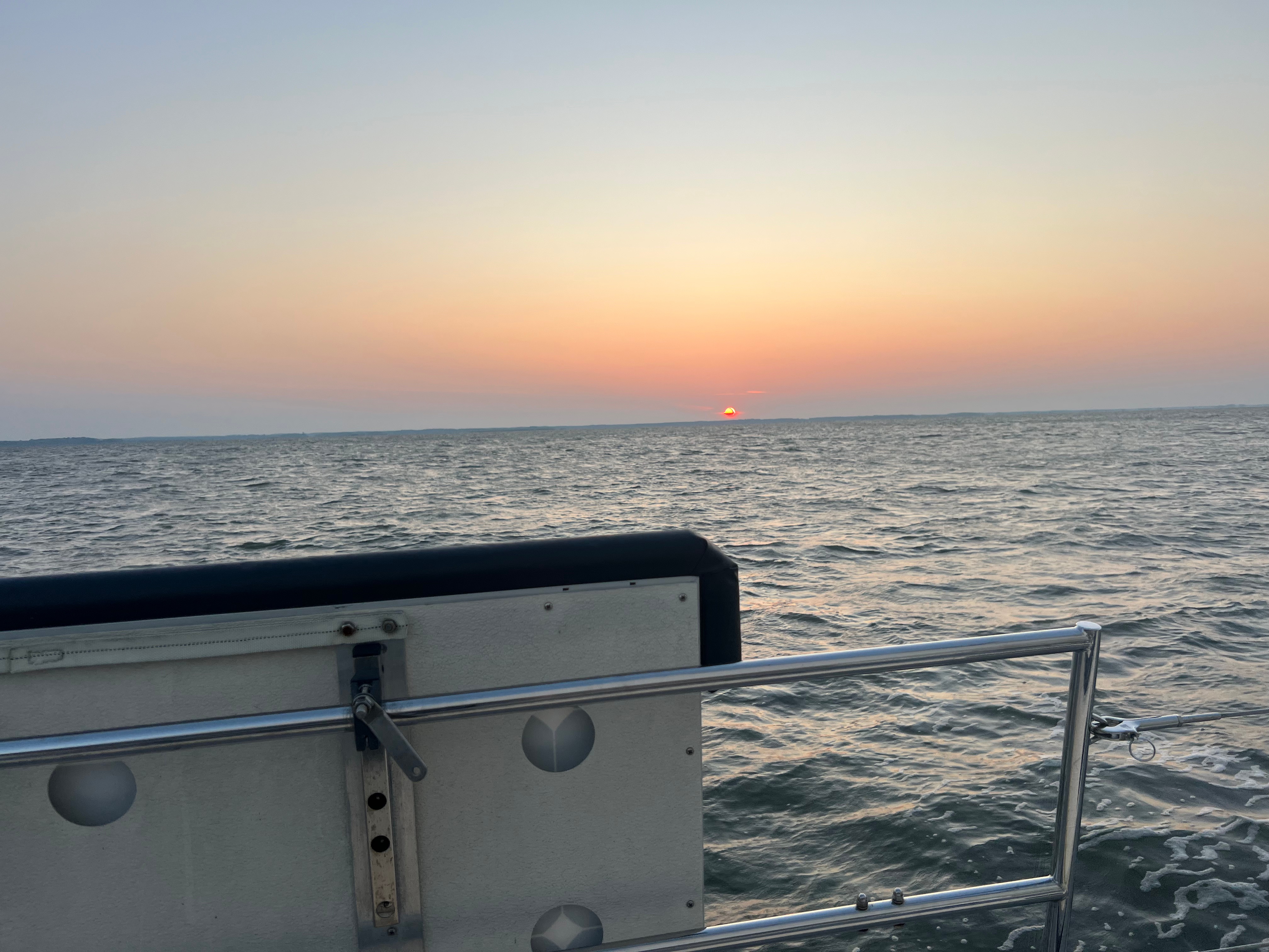
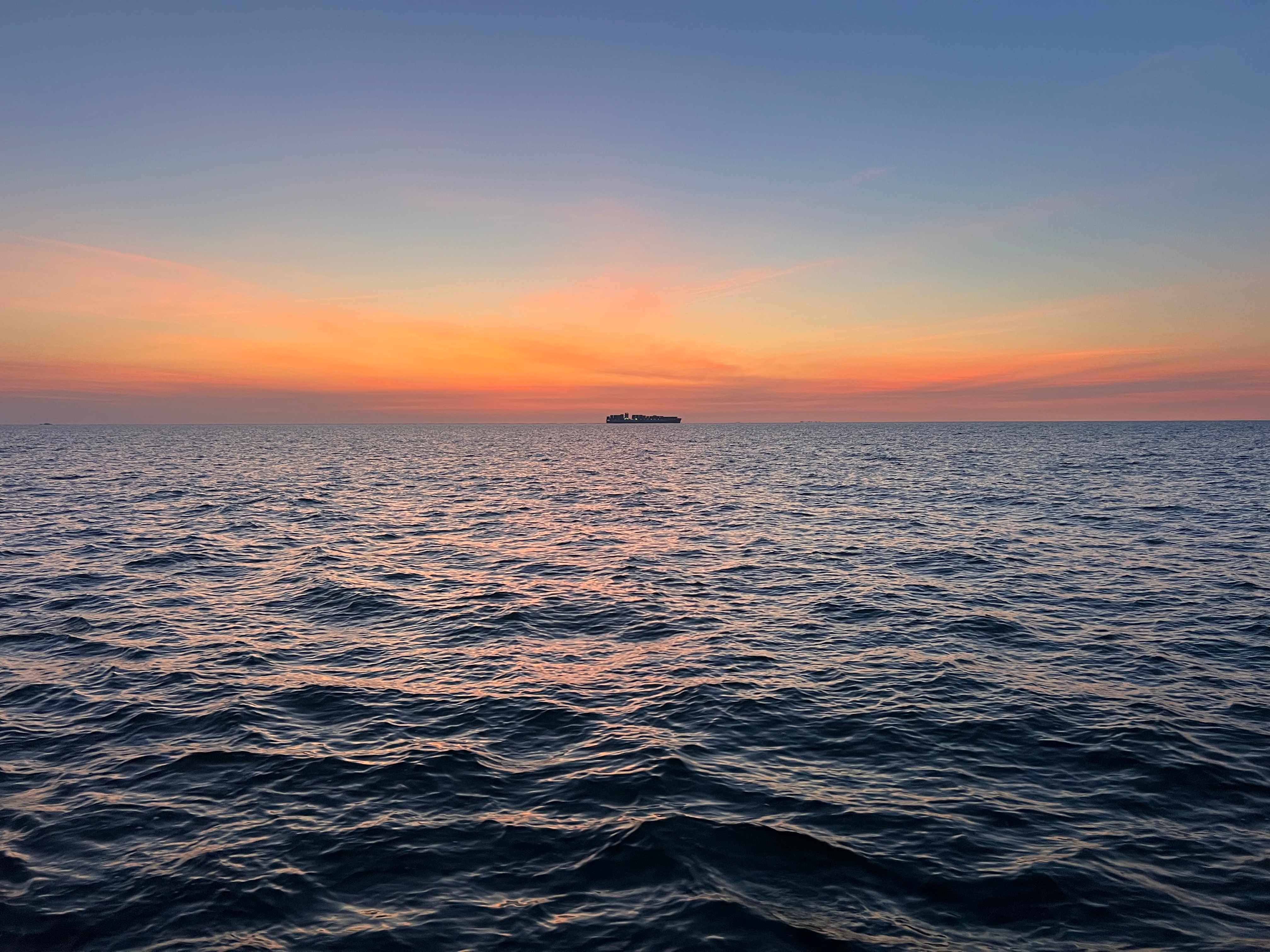
It’s dim yellow/gold paint was lit up by the sunrise. Shortly after this, the Dole ship passed another ship going the opposite direction. That about sums up the Delaware River on a normal day.
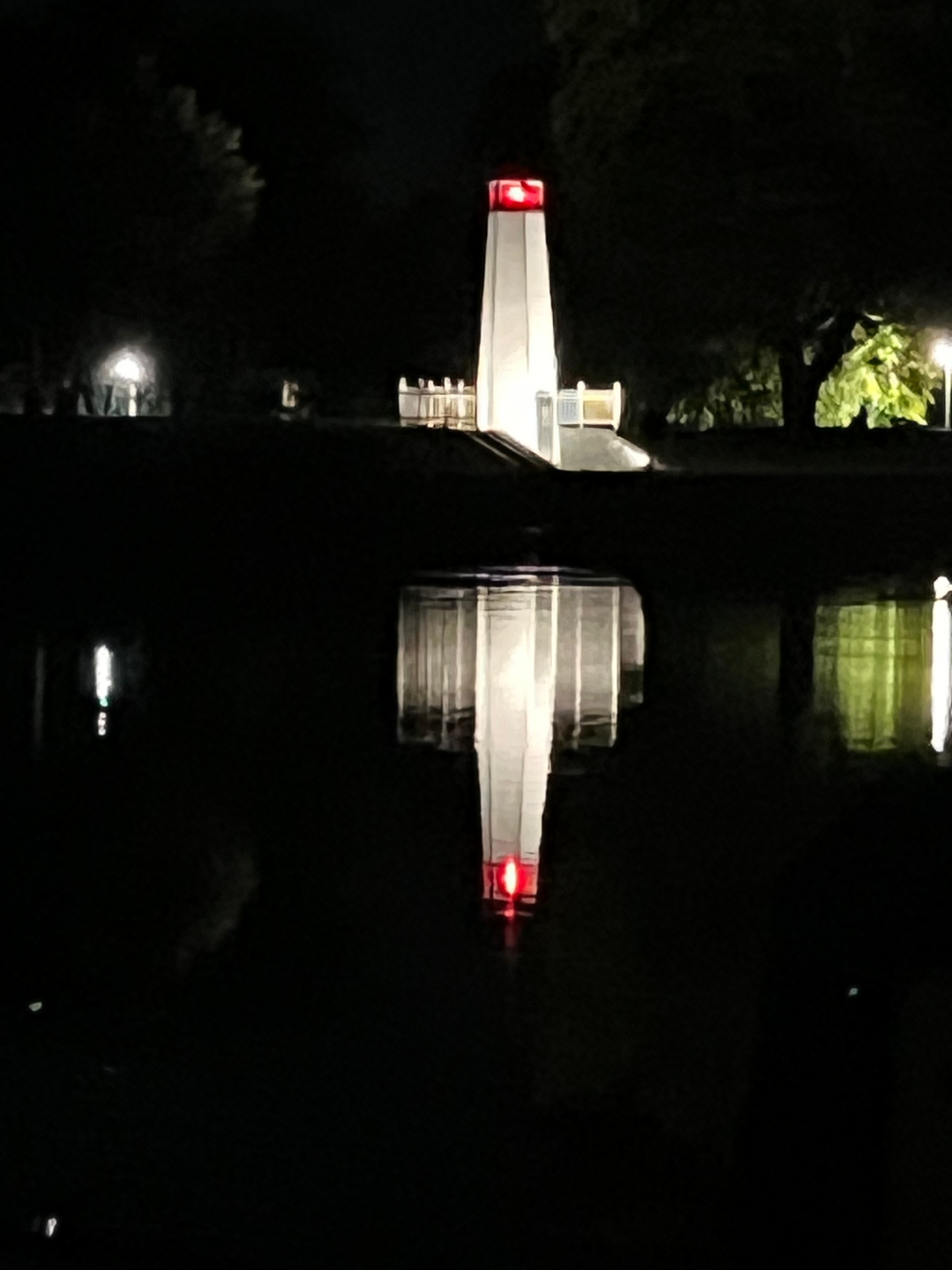
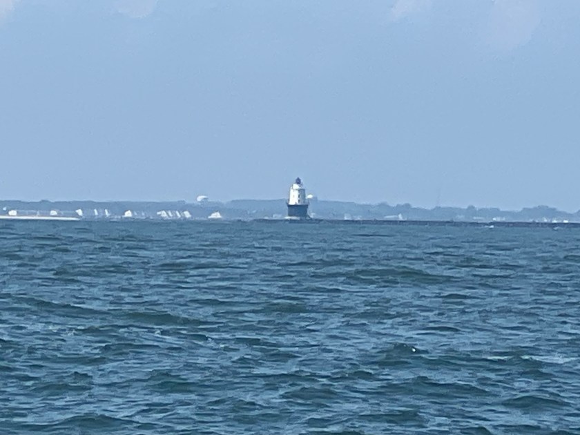
At that point the current pushed against us, then we dropped the mainsail and motored out into the Atlantic Ocean. The water turned a deep green which was remarkable in the bright sunlight. The Harbor of Refuge Lighthouse was just off our stern. We were moving so fast and consistent that I could barely keep up between sailing, navigating, checking weather, and looking around at the sights.
We motored out along the traffic lane closest to shore and aimed for the territorial sea & 3 nautical mile line. Once we got there, we plotted a rhumb line course and headed down the Delmarva coast with a nice close haul port tack. We let out the full main and full genoa was trimmed loosely.

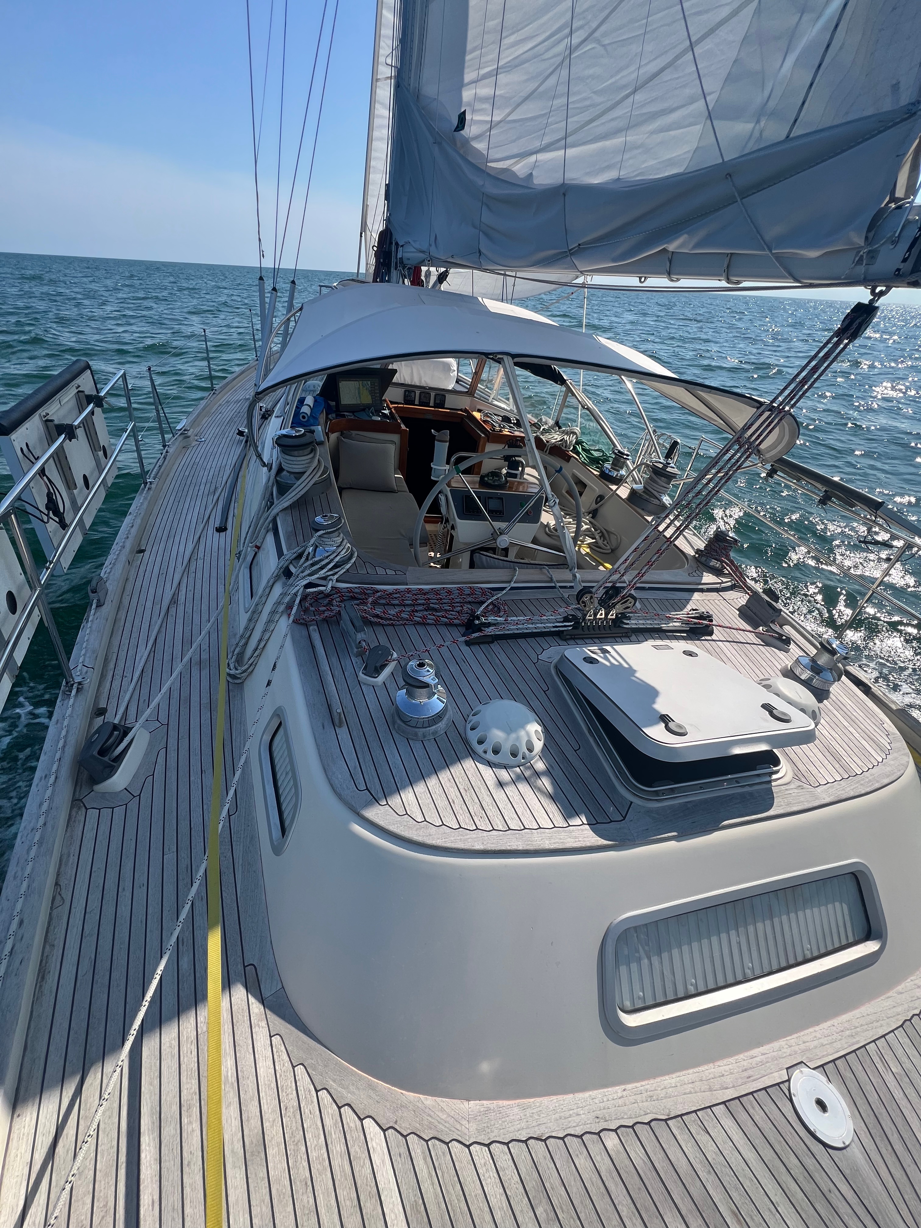
We had 3-4 foot swells and we just rode them up and down. The wind picked up and we are moving at hull speed so I deep-reefed the genoa. I put on the preventer for the night, and we just kept going. That settled down the boat.
What was interesting was that we lost Starlink for a short while. We couldn’t figure out what happened until we started looking closely at the charts. The Territorial Sea Line happens to arc in and out of the coast, and we happened to cross just outside of it for a very short period of time. But Starlink caught onto us quickly and shut us down.
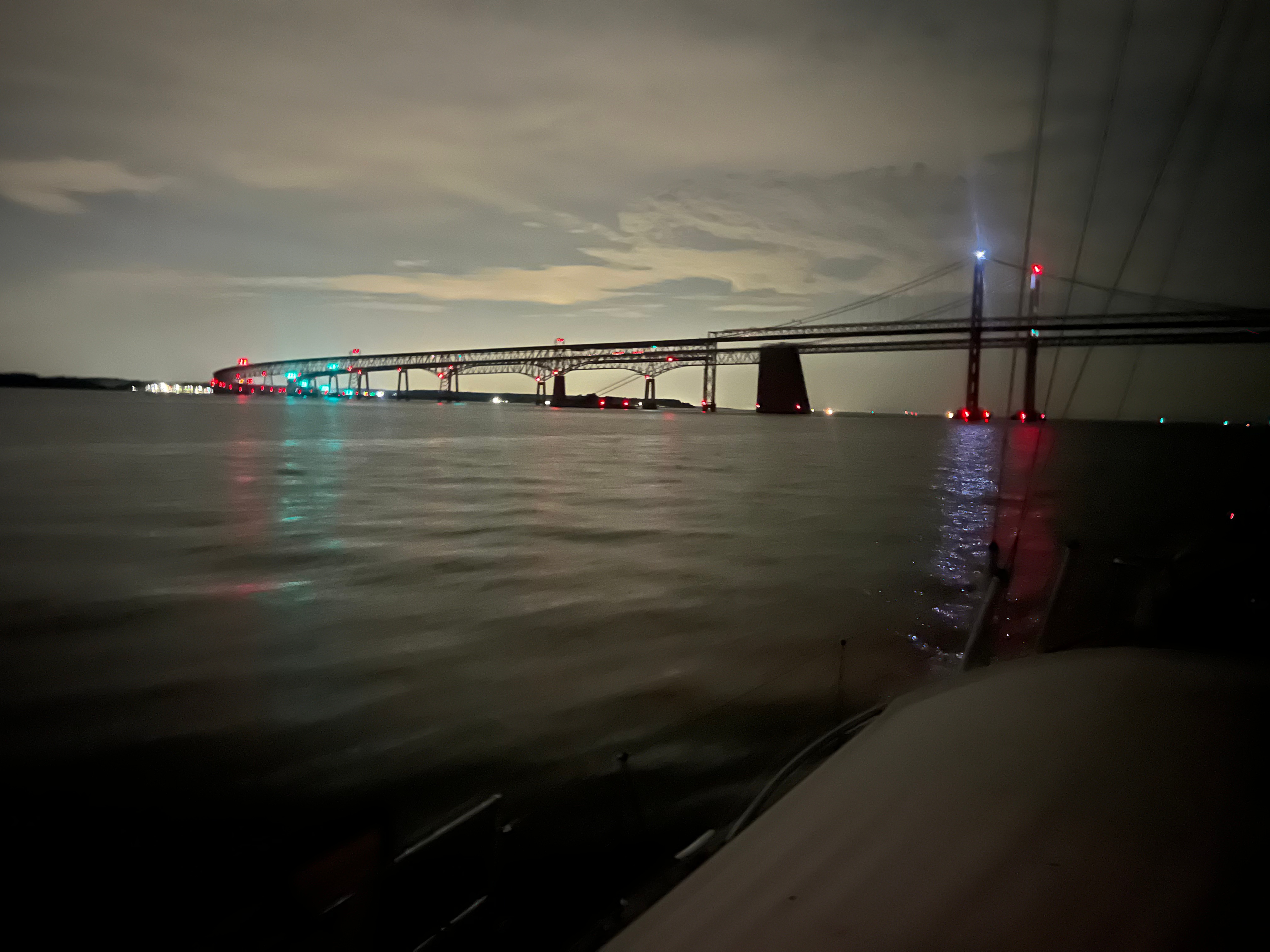
We finished the outer leg by motoring up into the Chesapeake Bay across the Chesapeake Bay Bridge. Looking to the East, I loved capturing the entire Eastern side of the bridge just before the tunnel.
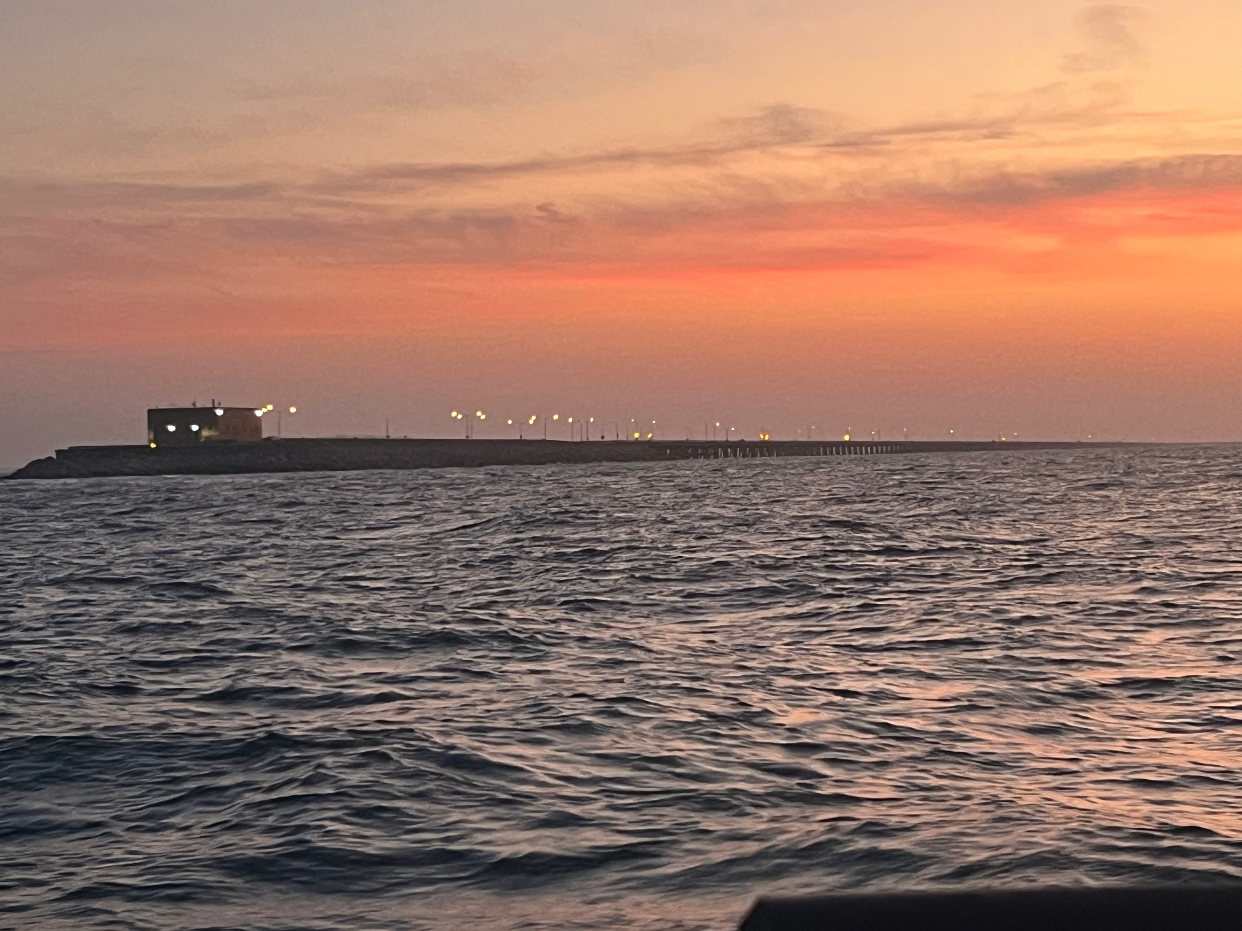
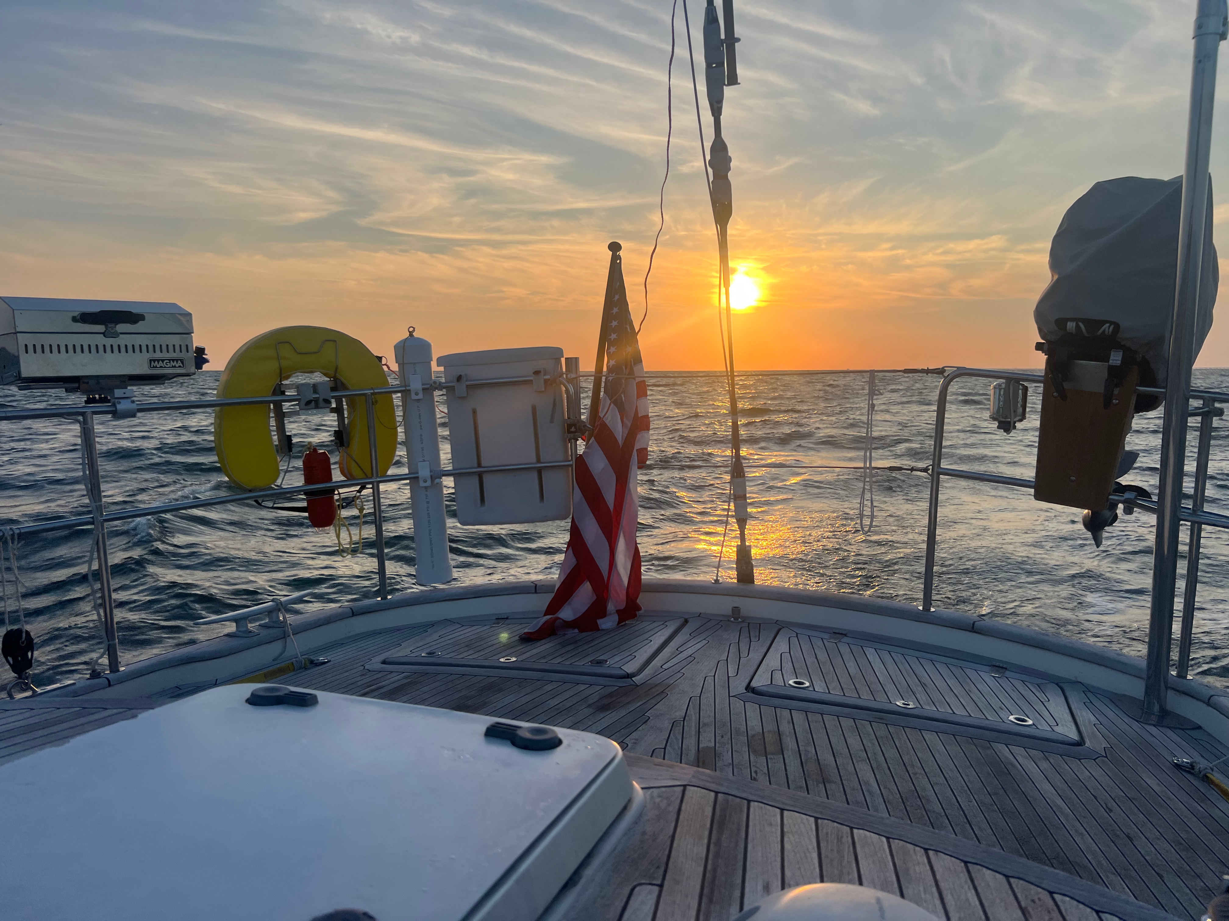
We past the bridge at the perfect time to capture the sunrise with a very light Easterly wind behind us. The clouds look windblown and dreamy. Rachel took a nap and I navigated through a very busy Norfolk harbor, crossing the Hampton Roads Bridge Tunnels and down the Elizabeth River.
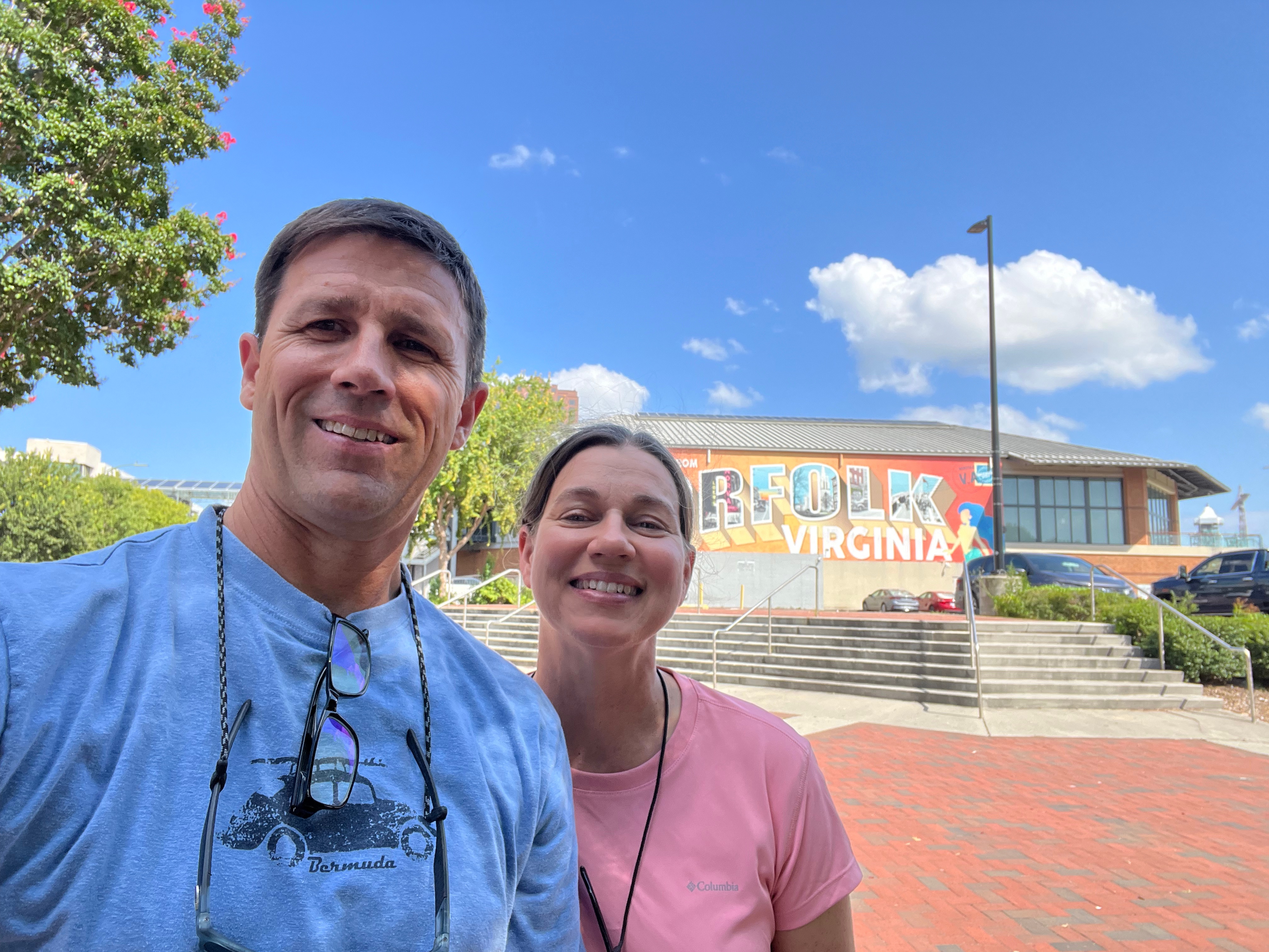
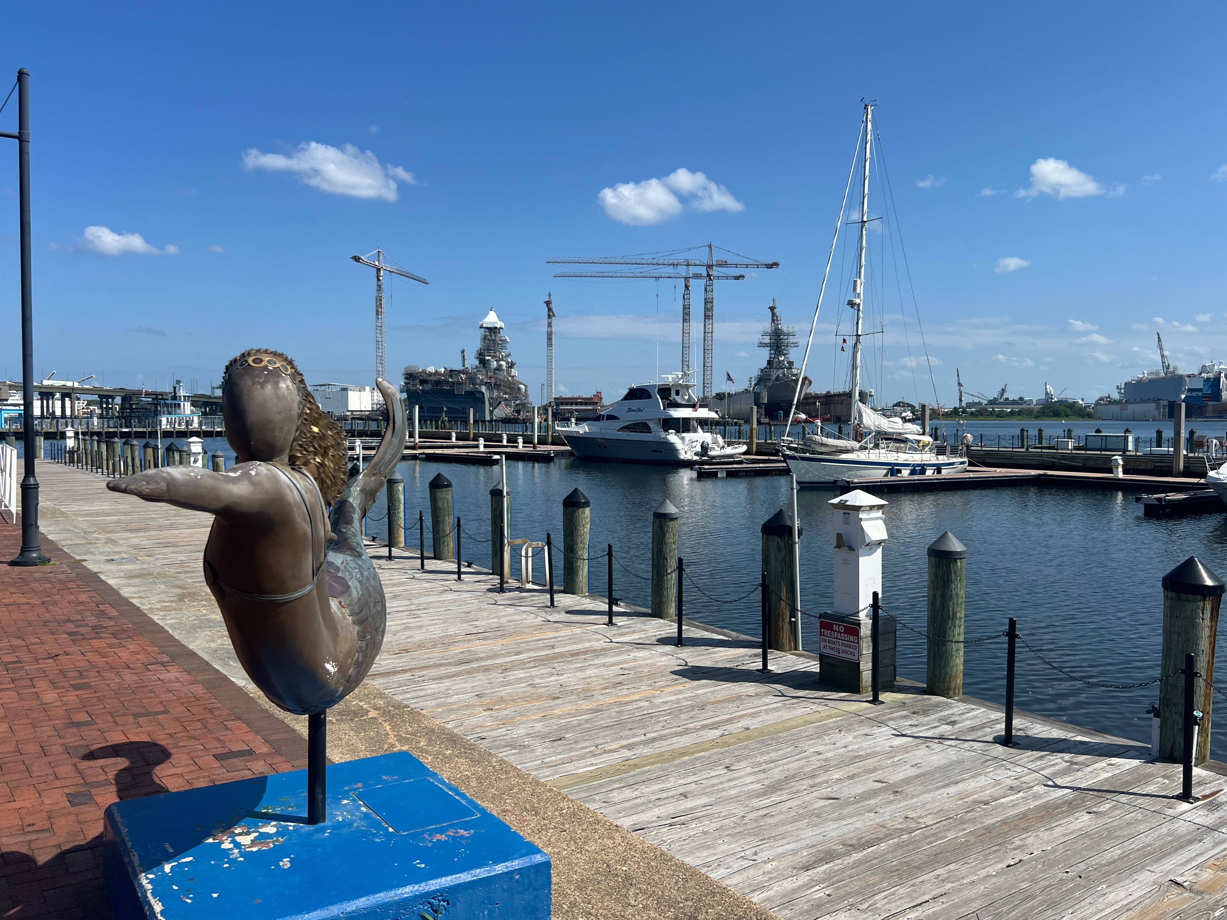
We docked for a few hours at Waterside Marina, chosen primarily so that we could drop off our liferaft for service. The Viking representative was proactive and communicativen with us the night before while we were in the ocean. He arranged to have a driver pick it up from us. We then grabbed some lunch and ice cream in town which gave us the chance to stretch our legs. That was a long stretch!
Leg 3a: Waterside Marina (Norfolk) to St. Mary’s City
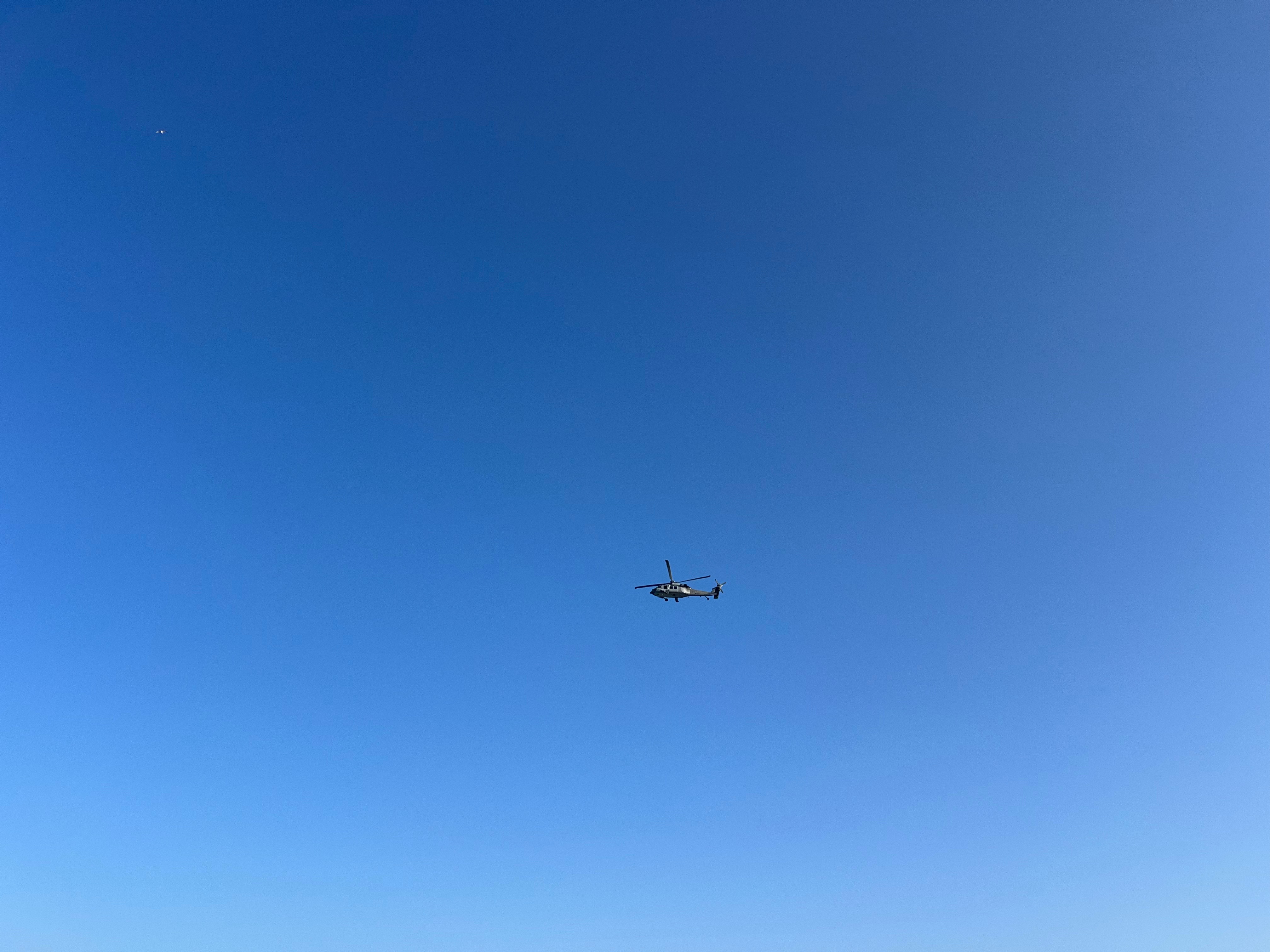
After a short 5-6 hour break in Norfolk, we decided to head North to St. Mary’s City. Waterside was not busy at all, but they were helpful and kind; they only charged us $9 for the use of the slip. We motored out of the Norfolk harbor into confused and choppy waves that evening passing the naval and ship yards. We saw a lot of military air activity as well.
We pulled up the sails and set our targets for St. Mary’s City. We were feeling very confident by this point in our abilities and in the boat. We know the boat very well, and all of the systems are essentially doing what they are supposed to. Another overnight sail was in store, but it was relatively easy.
We rolled up St. Mary’s River as if we owned the place. It was glassy, quiet and serene. We plopped into Horshoe Bend and dropped anchor alongside two other boats. There was virtually no wind and it was already hot for 0830 (in the morning).
Leg 3b: St. Mary’s City to Solomon’s Island
We paddled the dinghy up to the dock planning for several hours of walking and touring the abandoned town. We enjoyed walking and seeing the remnants of the town. We paddled back to the boat and elected to pull up anchor and run up to Solomon’s Island.
The goal was to get there before sundown, and Rachel seemed to be enjoying using our new Garmin 16″ chartplotter. People keep saying not to by electronics, and I get it, but this was a convenience that we enjoyed this trip. We arrived just as the sun set and dropped anchor in between a Amel and another motor boat. The owners of the Amel didn’t seem to like us as they thought we were too close to them. It turned out that we held solid and had the perfect length of chain let out; no issues. It helped that we were in this exact spot 2 years prior, so we had confidence how the boat would behave with the current and wind with 4-5:1 scope.
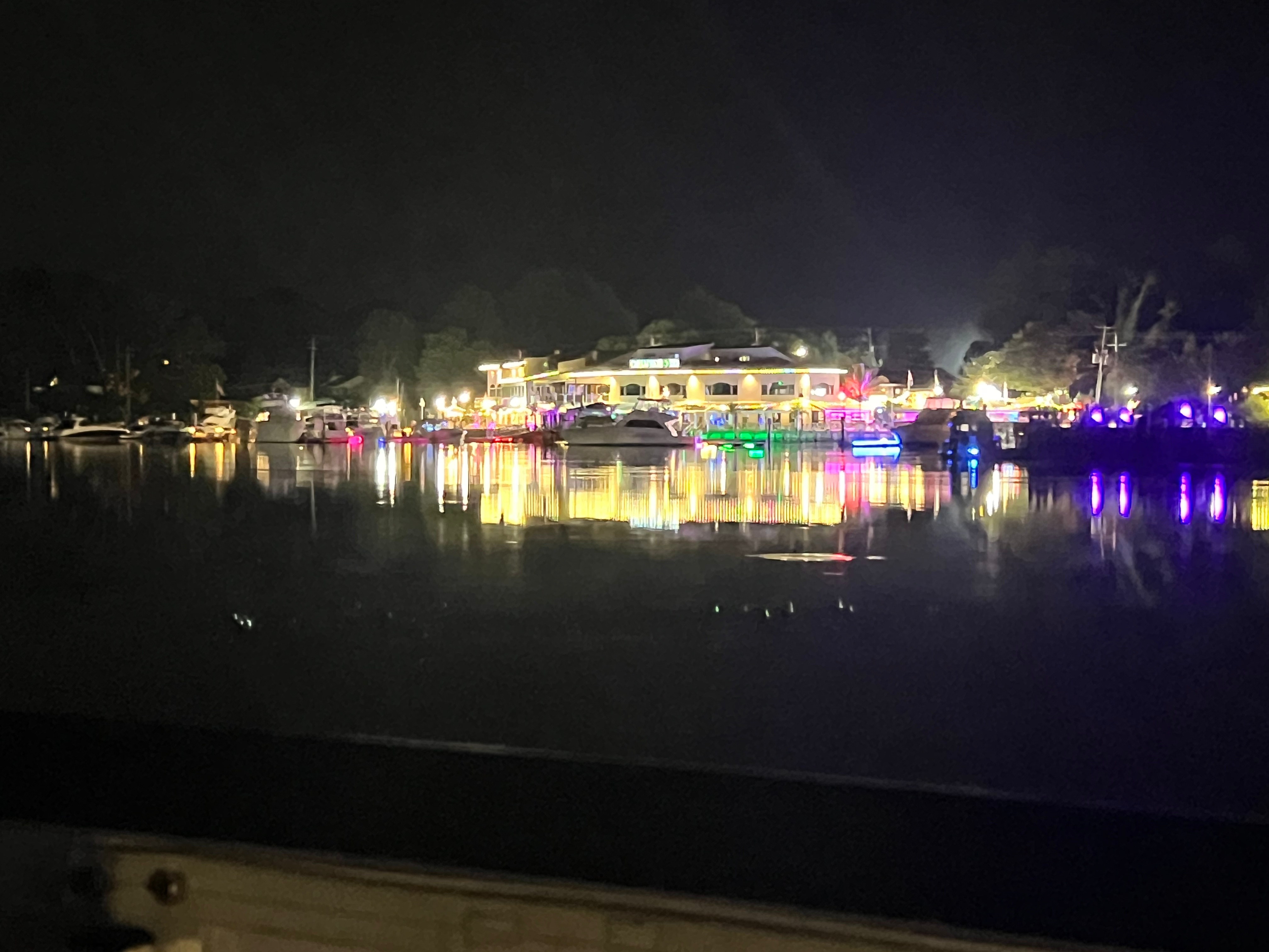
We paddled into town, and on the way, we befriended another sailboat owner in the anchorage who happened to have a jon boat tied up to it. We chatted and discovered that the jon boat captain was a diver and he was cleaning the bottom of the sailboat. Guess what? He took care of Skyward’s hull as well and cleaned it up real nice. It was perfect timing. While that work was going on, we had some lunch in town and then sampled another ice cream store. It was the best soft serve ice cream we’ve had in a while. After all that food, we paddled back to a boiling hot boat. We turned on the generator and we took a nice long nap.
Leg 3c: Solomon’s Island to Maryland Yacht Club
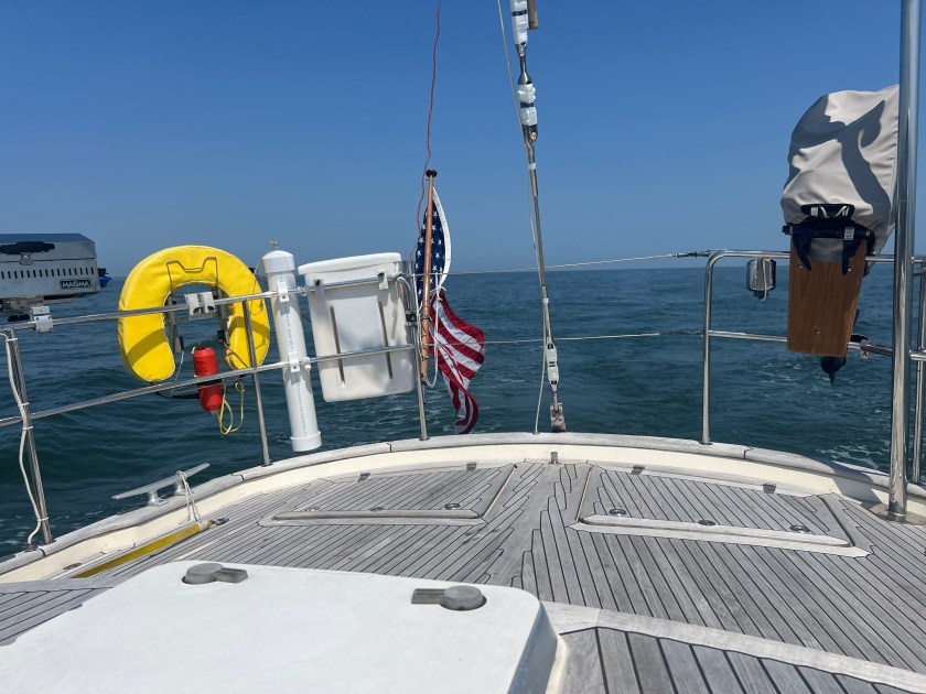
After waking up, we made dinner on the boat then pulled up anchor to head North towards Maryland Yacht Club. By the way, our new rail-mounted BBQ is working great, and even better, my new propane bottle holder on the stern rail is fantastic!
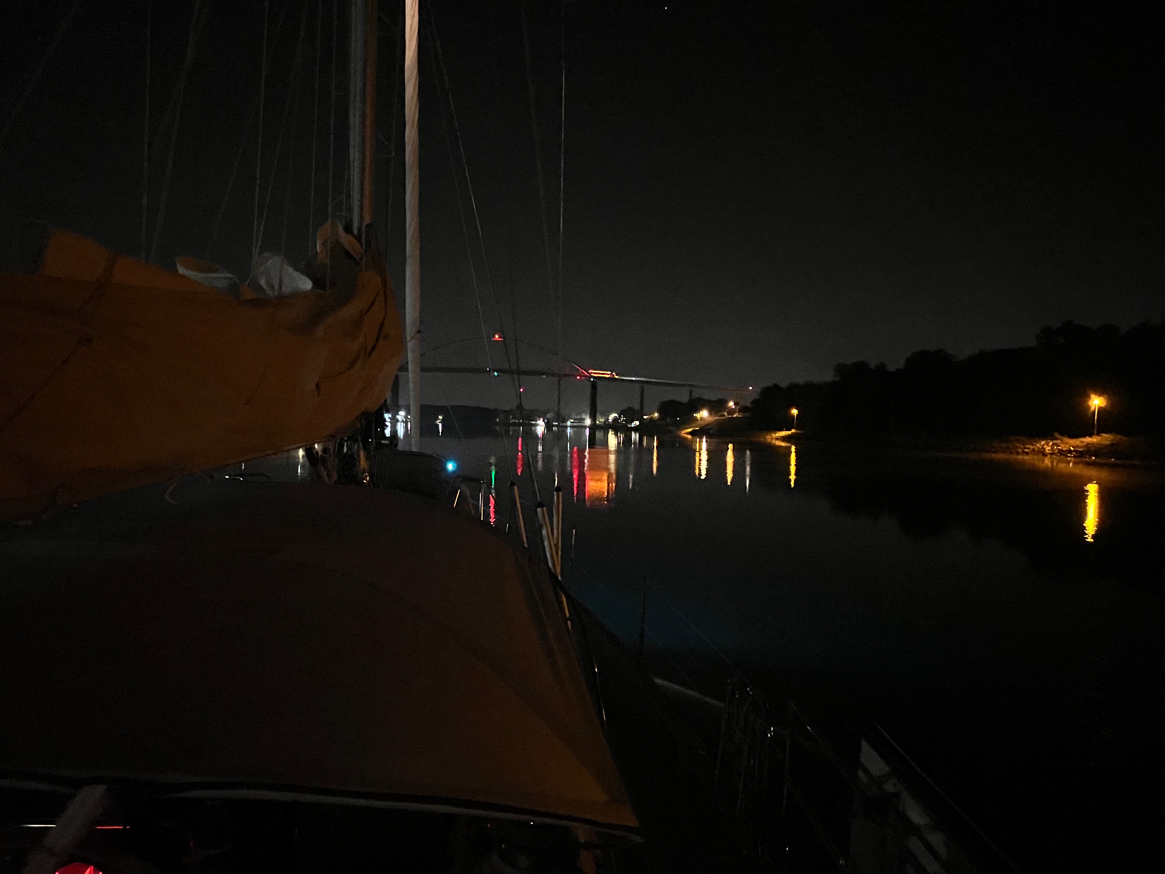
There were storms being tracked across Maryland, and we anticipated having to cross them while we sailed North. Once we got out onto the Bay, the storms gradually fizzled out and we had the makings of a perfect sail. The wind was behind us and light. But we leveraged every bit of wind that we could all the way up into Annapolis.
By then it was midnight and pitch black. We passed all of the ships in the anchorage and jetted under the bridge towards the Patapsco. We arrived and shut down the engine at 0300, exactly 4.5 days from starting the trip.
What Worked Well
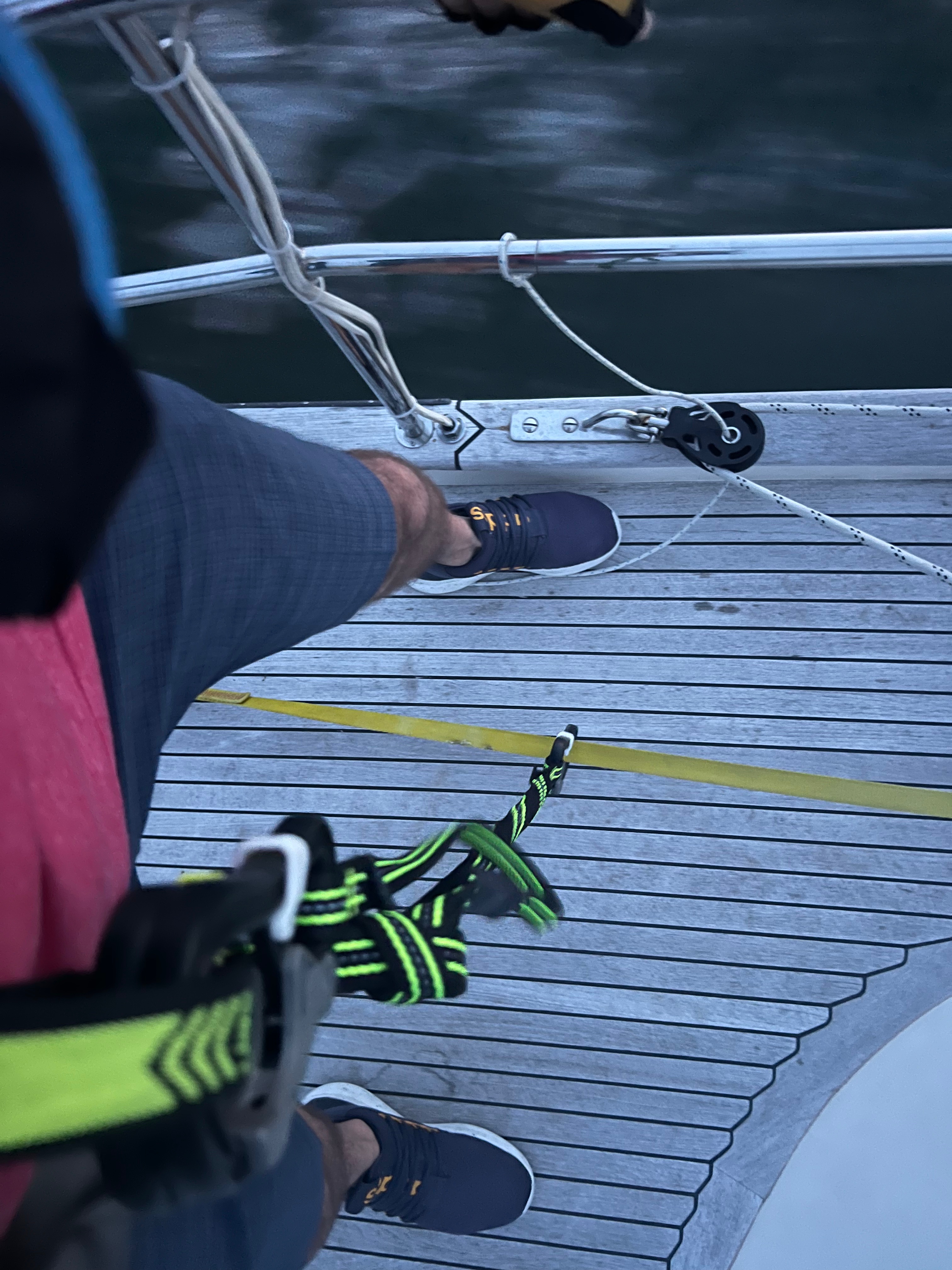
- Jacklines and tethers
- Our new Magna grill mounted on the pushpit rail
- New Garmin GPSMAP chartplotter and network with data at the helm station
- Rigging (new and temporary backstay spool from The Rigging Co.) held up great
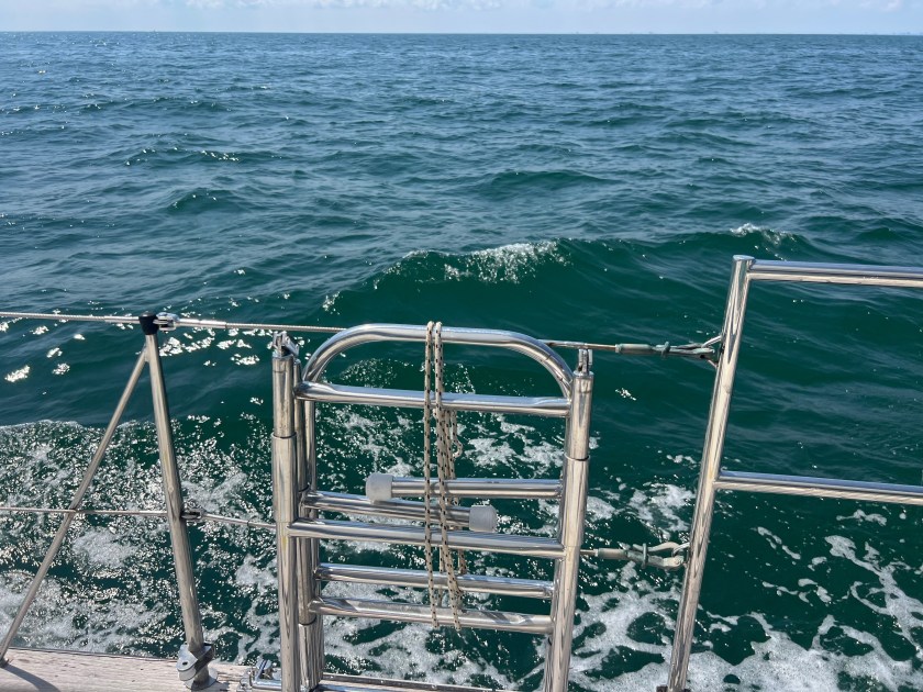
- Dinghy stayed on the deck in the ocean with green water coming over using the original mounting system
- Hot water coolant loop from the engine. The hot water did not disappoint.
- The refridgerator kept up well
- Vacuflush toilets
- Handheld high powered 12V light (cigarette plug) at the helm to shine very bright at the top of the mast to catch the main halyard wrapped around a mast step because I left it too loose
- Spreader lights helped us raise the main
- Radar very helpful locating a fishing vessel that was not responding to our calls (happened often on the trip)
- Anchor held us snug every time
- Generator ran perfectly to let us run AC on all those high heat index days
- Engine started and ran flawlessly and we rev’d it up every 2 hours to blow the exhaust free of dust and prevent coking.
- New custom-made propane can holder on our stern rail for small cans to use on our grill
What Was “Okay”
- Starlink cut out one time when we unintentionally and inadvertently crossed the boundary line in the Ocean
- Raymarine control head issue. The unit works perfectly for hours and then has persistent issues for a minute.
- SeaFrost freezer refridgerant lines still have a slight leak
- Garmin camera mounted on the pole – it works great to see the deck and lower sail trim, but it doesn’t look out far enough in front of the boat